4 km | 5.9 km-effort
Randoguide
Traces-Montagnes
User
Length
5.2 km
Max alt
866 m
Uphill gradient
109 m
Km-Effort
6.6 km
Min alt
787 m
Downhill gradient
94 m
Boucle
Yes
Creation date :
2014-12-10 00:00:00.0
Updated on :
2014-12-10 00:00:00.0
38m
Difficulty : Unknown
FREE GPS app for hiking
About
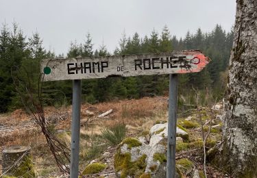
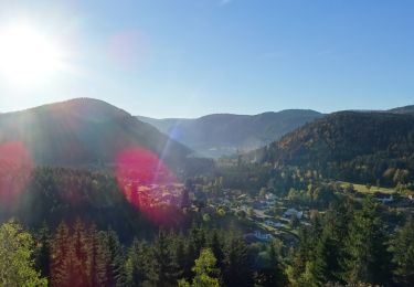
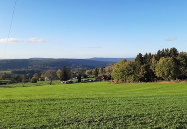
Trail Other activity of 5.2 km to be discovered at Grand Est, Vosges, Arrentès-de-Corcieux. This trail is proposed by Traces-Montagnes.
Positioning
Country:
France
Region :
Grand Est
Department/Province :
Vosges
Municipality :
Arrentès-de-Corcieux
Location:
Unknown
Start:(Dec)
Start:(UTM)
342679 ; 5333092 (32U) N.
Comments
Trails nearby
Pré Petitjean - La Roche des chiens
Walking
(1)
Gerbépal,
Grand Est,
Vosges,
France
8.5 km | 11.3 km-effort
1h 45min
Yes
Champs des roches
Walking
Very easy
Arrentès-de-Corcieux,
Grand Est,
Vosges,
France
7.3 km | 9.5 km-effort
1h 47min
Yes
Autour de Liezey
Walking
Medium
Granges-Aumontzey,
Grand Est,
Vosges,
France
25 km | 34 km-effort
6h 3min
Yes
20201230_12km_424m_ColMartimpré-ChaletPreux
Snowshoes
Medium
Gerbépal,
Grand Est,
Vosges,
France
12.1 km | 17.2 km-effort
Unknown
Yes
2018-10-13 Rando CVA Vosges Prof Xonrupt Granges sur Vologne
Horseback riding
Easy
Xonrupt-Longemer,
Grand Est,
Vosges,
France
27 km | 37 km-effort
4h 25min
No
au mica 4x4
Other activity
Very easy
Corcieux,
Grand Est,
Vosges,
France
40 km | 50 km-effort
Unknown
Yes
Vierge de la Sappe
Walking
Easy
Anould,
Grand Est,
Vosges,
France
3.8 km | 5.5 km-effort
1h 14min
Yes
Gerbepal-19933952
Walking
Medium
Gerbépal,
Grand Est,
Vosges,
France
21 km | 30 km-effort
6h 30min
Yes