


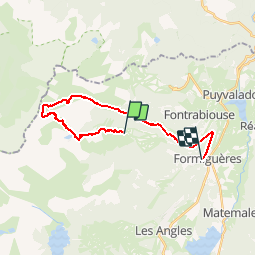


15.1 km | 24 km-effort

User


FREE GPS app for hiking
 SityTrail
IGN / Geographical institutes
SityTrail World
The world is yours!
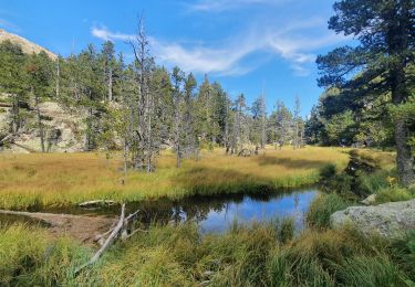
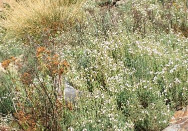
Trail Mountain bike of 23 km to be discovered at Occitania, Pyrénées-Orientales, Formiguères. This trail is proposed by fine66.
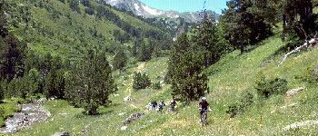
le diable avec milou,louis,corinne,alain,david,arnaud


Walking


sport

Walking

Walking

Snowshoes

Snowshoes
Snowshoes
Walking
Walking
les angles 3
magnifique