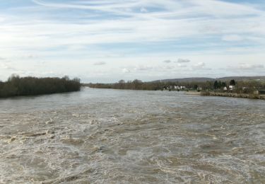
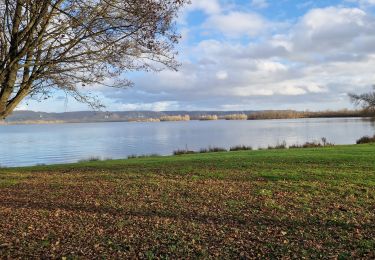
8.7 km | 9.3 km-effort
sortie VTT du 2 juillet 2012
wallander76
User
Length
13.4 km
Max alt
128 m
Uphill gradient
141 m
Km-Effort
15.3 km
Min alt
42 m
Downhill gradient
149 m
Boucle
No
Creation date :
2014-12-10 00:00:00.0
Updated on :
2014-12-10 00:00:00.0
1h28
Difficulty : Very easy
FREE GPS app for hiking
About
Trail Mountain bike of 13.4 km to be discovered at Normandy, Eure, Les Damps. This trail is proposed by wallander76.
Description
Balade en VTT dans la forêt
Positioning
Country:
France
Region :
Normandy
Department/Province :
Eure
Municipality :
Les Damps
Location:
Unknown
Start:(Dec)
Start:(UTM)
367278 ; 5462129 (31U) N.
Comments
Trails nearby
Sotteville sous le Val vers Igoville
Walking
Easy
(1)
Sotteville-sous-le-Val,
Normandy,
Seine-Maritime,
France
1h 48min
Yes
20190820_135035
Trail
Very easy
(1)
Les Damps,
Normandy,
Eure,
France
10.9 km | 12.5 km-effort
Unknown
Yes
Pont de l'Arche/ Les Damps (126)
Walking
Medium
(4)
Pont-de-l'Arche,
Normandy,
Eure,
France
11.5 km | 13.9 km-effort
3h 3min
Yes
*les Authieux Igoville 15km
Walking
Very easy
(1)
Les Authieux-sur-le-Port-Saint-Ouen,
Normandy,
Seine-Maritime,
France
13.9 km | 16.5 km-effort
3h 37min
Yes
Du Vaudreuil, aux Andelys et retour
sport
Very easy
Le Vaudreuil,
Normandy,
Eure,
France
58 km | 64 km-effort
Unknown
Yes
20240305-Gouy
Walking
Medium
Les Authieux-sur-le-Port-Saint-Ouen,
Normandy,
Seine-Maritime,
France
10.7 km | 13.1 km-effort
2h 35min
Yes
20240227-Poses
Walking
Easy
Amfreville-sous-les-Monts,
Normandy,
Eure,
France
13.1 km | 14.1 km-effort
2h 49min
Yes
20240206-Sotteville sous le Val
Walking
Medium
Sotteville-sous-le-Val,
Normandy,
Seine-Maritime,
France
11.4 km | 13.5 km-effort
2h 34min
Yes
20231212-Les Damps
Walking
Medium
Les Damps,
Normandy,
Eure,
France
9.5 km | 11.1 km-effort
2h 39min
Yes