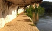
Trail Mountain bike Saint-Cirq-Lapopie - St Cirq Lapopie - Bach - Laburgade - Photo

St Cirq Lapopie - Bach - Laburgade

 tracegps
tracegps

User

© OpenStreetMap contributors
Length
Length
60 km
Max alt
Max alt
379 m
Uphill gradient
Uphill gradient
1204 m
Km-Effort
Km-Effort  
76 km
Min alt
Min alt
124 m
Downhill gradient
Downhill gradient
1236 m
Boucle
Boucle
Yes
Creation date :
2014-12-10 00:00:00.0
Updated on :
2014-12-10 00:00:00.0

(0 Reviews)

Mountain bike
Mountain bike
4h30
Difficulty : Difficult

Scan this QR Code to open this trail in the SityTrail application

FREE GPS app for hiking

Logo SityTrail SityTrail

IGN / Geographical institutes

Download SityTrail from the App Store Download SityTrail from Google Play

Logo SityTrail SityTrail World

The world is yours!

Download SityTrail from the App Store Download SityTrail from Google Play Download SityTrail on Huawei AppGallery

About

Trail Mountain bike of 60 km to be discovered at Occitania, Lot, Saint-Cirq-Lapopie. This trail is proposed by tracegps.

Description

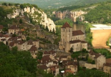
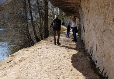
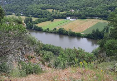
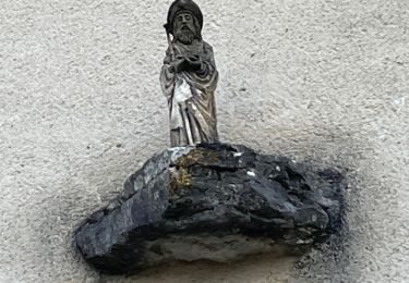
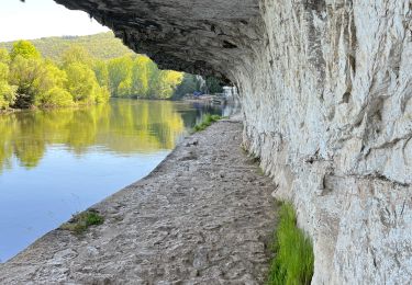
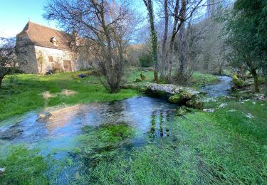
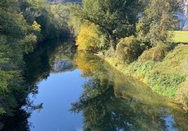
Départ de Saint Cirq Lapopie. Le GR 36-46 se trouve sur la gauche en montant par la route à la hauteur du village. La première montée est très dure, il faudra pousser le VTT, ensuite vous irez jusqu'à Bach par le GR 36-46 pour prendre le GR 65 St Jacques de Compostelle. Vous quittez le GR pour monter au village de Laburgade où se trouve le chemin des 13 puits, puis vous passez au lavoir de L'Aujols et ensuite direction le Lot avec le GR 36a. A Pasturac la trace vous fait traverser le pont pour aller par la route jusqu'à Bouziès car faute de temps… Sinon vous avez la possibilité de continuer le GR 36-46 pour Bouziès. Pour finir le chemin de halage GR 36-46 jusqu'à St Cirq Lapopie, dernière montée très dure où il faudra pousser le VTT.

Elevation profile

Photos

Positioning

Country:
France
Region :
Occitania
Department/Province :
Lot
Municipality :
Saint-Cirq-Lapopie
Location:
Unknown
Start:(UTM)
394268 ; 4924212 (31T) N.

Trails nearby

Trail Walking Saint-Cirq-Lapopie - Circuit sud de St Cirq Lapopie - Photo
Walking
tracegps

Walking

Difficult
(4)
Saint-Cirq-Lapopie, Occitania, Lot, France
17.7 km | 24 km-effort
3h 30min
Yes
Trail Walking Bouziès - St Cirq Lapopie - Photo
Walking
neleda

Walking

Very easy
(1)
Bouziès, Occitania, Lot, France
8.3 km | 12.4 km-effort
2h 33min
No
Trail Walking Cabrerets - Cabrenets Bouziès St Cirq Bouziés - Photo
Walking
GUIDE
nadinebondoux

Walking

Medium
Cabrerets, Occitania, Lot, France
16.2 km | 24 km-effort
5h 21min
No
Trail Walking Bouziès - Étape 4 Bouziès  Les Mazuts  - Photo
Walking
GUIDE
nadinebondoux

Walking

Difficult
Bouziès, Occitania, Lot, France
21 km | 30 km-effort
6h 29min
No
Trail Walking Cabrerets - Lot CABRERET BEARD - Photo
Walking
JEAN06910

Walking

Medium
Cabrerets, Occitania, Lot, France
24 km | 34 km-effort
4h 44min
No
Trail sport Saint-Cirq-Lapopie - 20240422 St Cirq - Vers - Photo
sport
ThonyM

sport

Very easy
Saint-Cirq-Lapopie, Occitania, Lot, France
22 km | 31 km-effort
Unknown
No
Trail sport Cabrerets - 20240421 Cabrerets - St Cirq - Photo
sport
ThonyM

sport

Very easy
Cabrerets, Occitania, Lot, France
11.6 km | 17.4 km-effort
Unknown
No
Trail Walking Cabrerets - Cabrerets Liauzu  - Photo
Walking
GUIDE
antignacs

Walking

Easy
Cabrerets, Occitania, Lot, France
12.3 km | 17.5 km-effort
3h 3min
Yes
Trail Walking Bouziès - Bouzies St Cirq Conduche  - Photo
Walking
GUIDE
antignacs

Walking

Very easy
Bouziès, Occitania, Lot, France
15.3 km | 21 km-effort
4h 11min
Yes


Close
My subscriptions