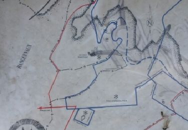
14.4 km | 19 km-effort
30juin2012
sof2clara
User
Length
26 km
Max alt
345 m
Uphill gradient
264 m
Km-Effort
29 km
Min alt
301 m
Downhill gradient
264 m
Boucle
Yes
Creation date :
2014-12-10 00:00:00.0
Updated on :
2014-12-10 00:00:00.0
1h35
Difficulty : Easy
FREE GPS app for hiking
About
Trail Mountain bike of 26 km to be discovered at Grand Est, Moselle, Hayange. This trail is proposed by sof2clara.
Description
greg57(1)
Positioning
Country:
France
Region :
Grand Est
Department/Province :
Moselle
Municipality :
Hayange
Location:
Unknown
Start:(Dec)
Start:(UTM)
285839 ; 5466486 (32U) N.
Comments
Trails nearby
Circuit du Plateau d'Algrange
On foot
Easy
Nilvange,
Grand Est,
Moselle,
France
9.8 km | 13.9 km-effort
3h 9min
No
ferme du tremon
Walking
Very difficult
Moyeuvre-Grande,
Grand Est,
Moselle,
France
15.4 km | 19.3 km-effort
4h 26min
Yes
Le Poumon Vert de la Vallee Industrielle
On foot
Easy
Hayange,
Grand Est,
Moselle,
France
4.7 km | 6.7 km-effort
1h 30min
No
Circuit du Cachetel ou Castel
On foot
Easy
Fontoy,
Grand Est,
Moselle,
France
7.5 km | 9.5 km-effort
2h 9min
No
Circuit des Tillots
On foot
Easy
Neufchef,
Grand Est,
Moselle,
France
3.8 km | 4.8 km-effort
1h 5min
No
VTT tour de Drince
Other activity
Difficult
Gandrange,
Grand Est,
Moselle,
France
32 km | 41 km-effort
3h 8min
Yes
saint nicolas-ronguevaux
Other activity
Easy
Hayange,
Grand Est,
Moselle,
France
9.2 km | 11.8 km-effort
1h 48min
Yes
Sérémange
sport
Very easy
Serémange-Erzange,
Grand Est,
Moselle,
France
7.2 km | 8.3 km-effort
Unknown
Yes