2012-06-16 12h31m17 SityTrail > Trails > Outdoor > France > Bourgogne-Franche-Comté > Yonne > Cry SityTrail > Trails > Outdoor > France > Bourgogne-Franche-Comté > Yonne > Cry 2012-06-16 12h31m17 spinnerfrog User 3D © OpenStreetMap contributors Length 41 km Max alt 338 m Uphill gradient 447 m Km-Effort 47 km Min alt 186 m Downhill gradient 385 m Boucle No Creation date : 2014-12-10 00:00:00.0 Updated on : 2014-12-10 00:00:00.0 (2 Reviews) Motor 29m Difficulty : Easy FREE GPS app for hiking SityTrail IGN / Geographical institutes SityTrail World The world is yours! About 
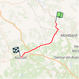
Trail Motor of 41 km to be discovered at Bourgogne-Franche-Comté, Yonne, Cry. This trail is proposed by spinnerfrog. Legends | More details (PDF) Elevation profile Legends > 15% 15% - 10% 10% - 5% flat 5% - 10% 10% - 15% 15% - 30% > 30% Positioning Country: France Region : Bourgogne-Franche-Comté Department/Province : Yonne Municipality : Cry Location: Unknown Start:(Dec) 47.70546 / 4.219074 Start:(UTM) 591453 ; 5284284 (31T) N. Comments Please log in to post a review or rate the element guest 2017-04-23 00:00:00.0 guest 2015-04-19 00:00:00.0 bonne application pour des randonnées en quad,localisation hors ligne,très utile ,ras. Trails nearby ghjpmlo raid armançon 18km 17 09 2016 Other activity Very easy Ravières, Bourgogne-Franche-Comté, Yonne, France 21 km | 25 km-effort 2h 13min Yes
guest 2015-04-19 00:00:00.0 bonne application pour des randonnées en quad,localisation hors ligne,très utile ,ras.
bonne application pour des randonnées en quad,localisation hors ligne,très utile ,ras.