


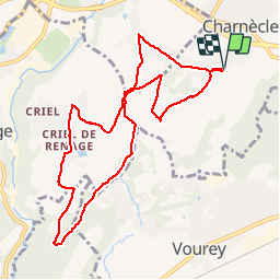

7.2 km | 7.6 km-effort


User


FREE GPS app for hiking
 SityTrail
IGN / Geographical institutes
SityTrail World
The world is yours!
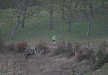
Trail Running of 9.9 km to be discovered at Auvergne-Rhône-Alpes, Isère, Charnècles. This trail is proposed by cbenoit38.
Entraînement pour le trial de montaud

Walking

Mountain bike
Walking
Walking
Walking
Running
Walking
Walking


sport