


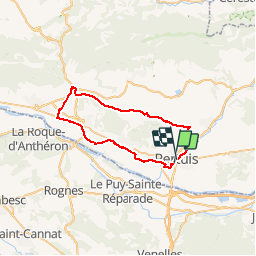

86 km | 102 km-effort


User


FREE GPS app for hiking
 SityTrail
IGN / Geographical institutes
SityTrail World
The world is yours!
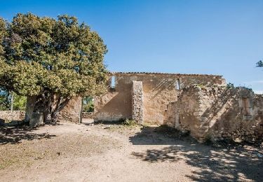
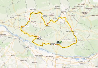
Trail Mountain bike of 43 km to be discovered at Provence-Alpes-Côte d'Azur, Vaucluse, Pertuis. This trail is proposed by lauramb.
Sortie du 29/05/2017 dans le cadre du projet CM1CM2.
Ce parcours est facile et va mettre sur la route 50 enfants de CM1 et CM2 de l'école Marsily.
12 adultes vont encadrer cette sortie.
Le pique nique est prévu à Lourmarin , au château.
4 heures de vélo sont prévues, 2 le matin et 2 l'AM.
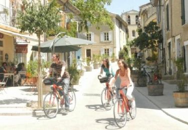
Cycle
Walking
Walking
Walking

Walking

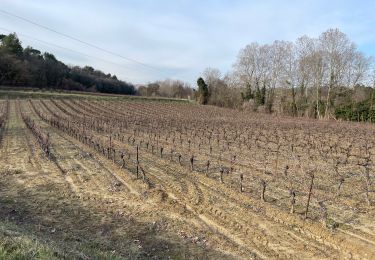
Cycle
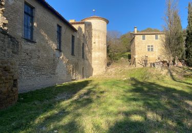
Cycle
Road bike

Nordic walking