


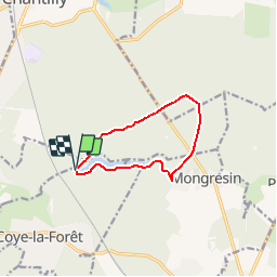

9.2 km | 11.2 km-effort


User


FREE GPS app for hiking
 SityTrail
IGN / Geographical institutes
SityTrail World
The world is yours!
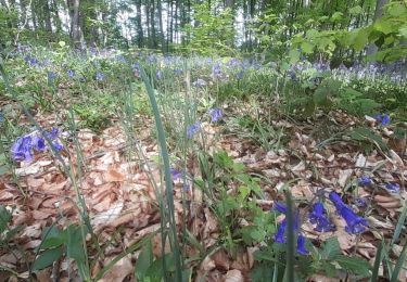
Trail Walking of 8.5 km to be discovered at Hauts-de-France, Oise, Coye-la-Forêt. This trail is proposed by dedicace.
Départ cht de la Reine blanche, tble de Mongrésin, étg Chapron, retour Cht de la Reine Blanche

Walking
Walking

Walking
Walking

Walking

Walking

Walking
Walking
Walking
look super