


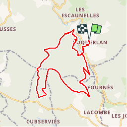


19.4 km | 29 km-effort

User


FREE GPS app for hiking
 SityTrail
IGN / Geographical institutes
SityTrail World
The world is yours!
Trail Walking of 20 km to be discovered at Occitania, Tarn, Mazamet. This trail is proposed by tracegps.
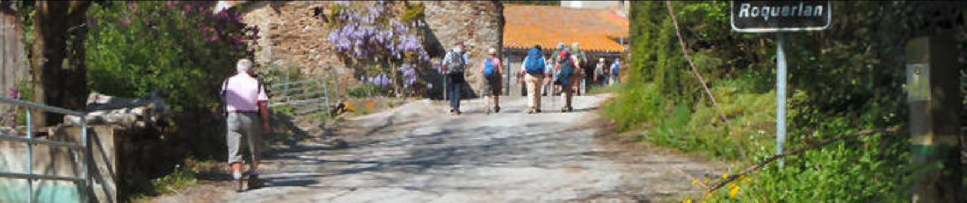
Cette rando a été organisée par Christine ...avec Florence et aussi la Communauté des communes du Haut Cabardes Départ du parking, place du lavoir à Roquerlan (c'est tout en haut du village). Roquerlan se situe entre Pradelles-Cabardès et Mazamet. Sur la D54, prendre la petite route vers Hautpoul. Ce circuit de 20 km ne présente pas de difficultés particulières.


On foot

On foot

On foot

Walking

Walking

Walking

On foot

Walking

Walking