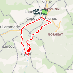

10.8 km | 24 km-effort


User


FREE GPS app for hiking
 SityTrail
IGN / Geographical institutes
SityTrail World
The world is yours!
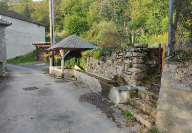
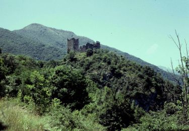
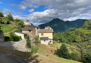
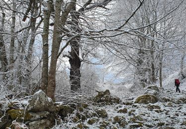
Trail Mountain bike of 13.5 km to be discovered at Occitania, Ariège, Capoulet-et-Junac. This trail is proposed by tracegps.
Relevé sur le terrain par les VTTAYRES du Sabarthes

Walking
Electric bike
On foot
On foot


Walking
Walking