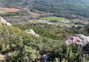
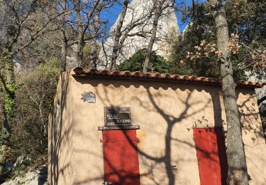
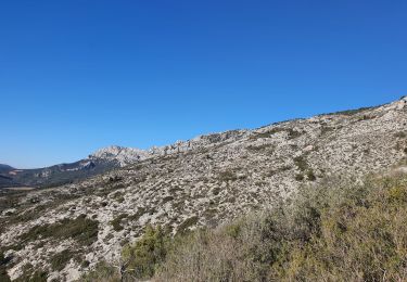
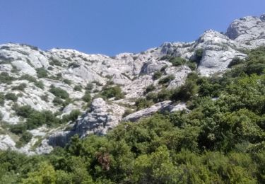
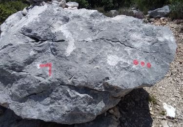
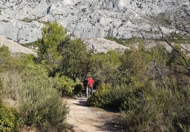
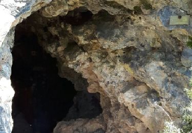
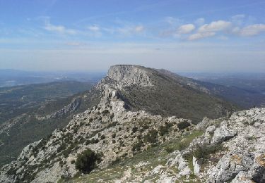
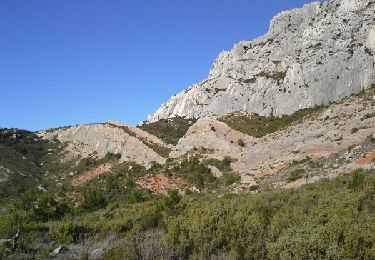
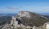
Trail Walking Puyloubier - Le Pic des Mouches par le Couloir des Justiciables, Col de Vauvenargues - Photo

Le Pic des Mouches par le Couloir des Justiciables, Col de Vauvenargues

 tracegps
tracegps

User

© OpenStreetMap contributors
Length
Length
7.3 km
Max alt
Max alt
998 m
Uphill gradient
Uphill gradient
726 m
Km-Effort
Km-Effort  
17 km
Min alt
Min alt
405 m
Downhill gradient
Downhill gradient
726 m
Boucle
Boucle
Yes
Creation date :
2014-12-10 00:00:00.0
Updated on :
2014-12-10 00:00:00.0

(0 Reviews)

Walking
Walking
5h00
Difficulty : Difficult

Scan this QR Code to open this trail in the SityTrail application

FREE GPS app for hiking

Logo SityTrail SityTrail

IGN / Geographical institutes

Download SityTrail from the App Store Download SityTrail from Google Play

Logo SityTrail SityTrail World

The world is yours!

Download SityTrail from the App Store Download SityTrail from Google Play Download SityTrail on Huawei AppGallery

About

Trail Walking of 7.3 km to be discovered at Provence-Alpes-Côte d'Azur, Bouches-du-Rhône, Puyloubier. This trail is proposed by tracegps.

Description

Provence – Montagne Sainte-Victoire. Le parking sous le relais de Saint-Ser est le point de départ à de belles randonnées dans le versant sud de la Sainte-Victoire, le Pic des Mouches en particulier. Pratiqué au XVIIIe siècle par les villageois qui se rendaient à Vauvenargues chez le juge de paix, le Couloir des Justiciables débouche au Col de Vauvenargues qui donne accès à un magnifique parcours de crête par la Brèche de Genty, le Col de Saint-Ser et le Baù de l'Aigle pour atteindre le Pic des Mouches – sommet oriental de la Sainte-Victoire. Le retour par le Parcours de Bramefan, complexe et peu évident, se faufile par combes et escarpements, dans un environnement sauvage très varié. Description complète sur sentier-nature.com : Le Pic des Mouches par le Couloir des Justiciables, Col de Vauvenargues. Avertissement [Franchissement 2/3 ; Exposition 1/3 ; Orientation 3/3 ; Pénibilité 2/3]. Certains passages de cet itinéraire de montagne sont escarpés et/ou très exposés, il est déconseillé aux enfants non accompagnés et aux personnes sujettes au vertige. Pour votre sécurité, nous vous invitons à respecter les règles suivantes : être bien chaussé, ne pas s'engager par mauvais temps, ne pas s'écarter de l'itinéraire ni des sentiers.

Elevation profile

Photos

Positioning

Country:
France
Region :
Provence-Alpes-Côte d'Azur
Department/Province :
Bouches-du-Rhône
Municipality :
Puyloubier
Location:
Unknown
Start:(UTM)
713613 ; 4822846 (31T) N.

Trails nearby

Trail Walking Saint-Antonin-sur-Bayon - Ste Victoire - Le Garagaï - Photo
Walking
ETMU5496

Walking

Difficult
(1)
Saint-Antonin-sur-Bayon, Provence-Alpes-Côte d'Azur, Bouches-du-Rhône, France
15.8 km | 28 km-effort
4h 36min
Yes
Trail Walking Saint-Antonin-sur-Bayon - 2023-02-10 Sainte Victoire Bau des Vespres - Photo
Walking
GUIDE
Kargil

Walking

Difficult
Saint-Antonin-sur-Bayon, Provence-Alpes-Côte d'Azur, Bouches-du-Rhône, France
10 km | 18.8 km-effort
3h 30min
Yes
Trail Walking Puyloubier - 2023-02-03 Sainte Victoire - Le Pic des Mouches - Photo
Walking
GUIDE
Kargil

Walking

Difficult
Puyloubier, Provence-Alpes-Côte d'Azur, Bouches-du-Rhône, France
10 km | 19 km-effort
3h 10min
Yes
Trail Walking Saint-Antonin-sur-Bayon - le Garagai, signal  - Photo
Walking
GUIDE
nadd73

Walking

Difficult
Saint-Antonin-sur-Bayon, Provence-Alpes-Côte d'Azur, Bouches-du-Rhône, France
6.8 km | 14.1 km-effort
3h 38min
Yes
Trail Walking Puyloubier - Pic dès mouches puyloubier - Photo
Walking
GUIDE
nadd73

Walking

Easy
Puyloubier, Provence-Alpes-Côte d'Azur, Bouches-du-Rhône, France
6.8 km | 15.2 km-effort
4h 52min
Yes
Trail Walking Saint-Antonin-sur-Bayon - pas du clapier et tracé vert - Photo
Walking
GUIDE
amiral13

Walking

Difficult
Saint-Antonin-sur-Bayon, Provence-Alpes-Côte d'Azur, Bouches-du-Rhône, France
10.5 km | 21 km-effort
5h 24min
Yes
Trail Walking Puyloubier - traversée St Ser, le pic des Mouches, Puyloubier - Photo
Walking
GUIDE
amiral13

Walking

Difficult
(1)
Puyloubier, Provence-Alpes-Côte d'Azur, Bouches-du-Rhône, France
8.4 km | 16.5 km-effort
5h 47min
No
Trail Walking Puyloubier - Le pic des Mouches par le col de St Ser - Photo
Walking
GUIDE
amiral13

Walking

Difficult
Puyloubier, Provence-Alpes-Côte d'Azur, Bouches-du-Rhône, France
6.5 km | 14.7 km-effort
3h 40min
Yes
Trail Walking Saint-Antonin-sur-Bayon - de la maison de Ste Victoire à l'ermitage de St Ser en passant par le pas de la torque - Photo
Walking
GUIDE
amiral13

Walking

Medium
Saint-Antonin-sur-Bayon, Provence-Alpes-Côte d'Azur, Bouches-du-Rhône, France
8.8 km | 16.3 km-effort
6h 17min
No


Close
My subscriptions