


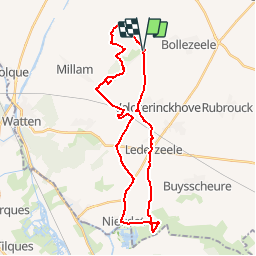

29 km | 31 km-effort

User


FREE GPS app for hiking
 SityTrail
IGN / Geographical institutes
SityTrail World
The world is yours!
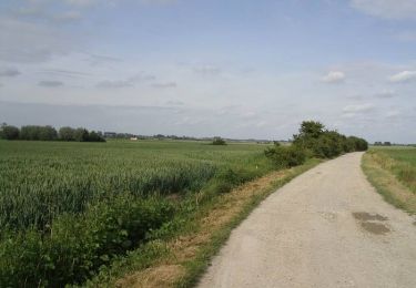
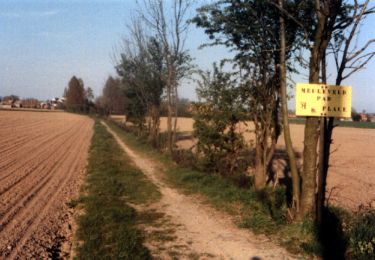
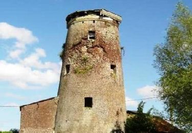
Trail Cycle of 29 km to be discovered at Hauts-de-France, Nord, Merckeghem. This trail is proposed by tracegps.
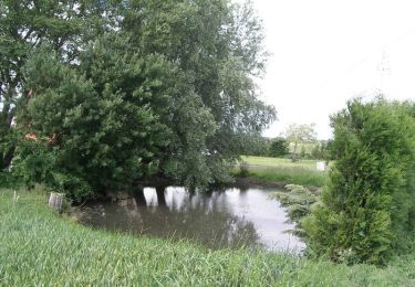
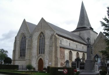
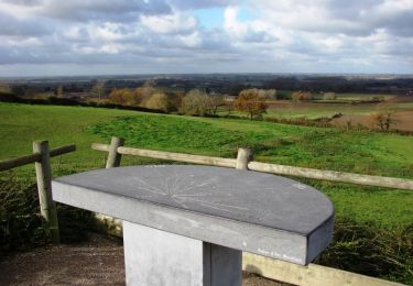
Circuit proposé par la communauté de communes de l'Yser. Départ de la table d'orientation de Merckeghem. Vous pouvez vous procurer le dépliant du parcours auprès des offices de Tourisme locaux.


Cycle
Walking
Walking
Walking
Walking
Walking
Walking
Cycle

Cycle