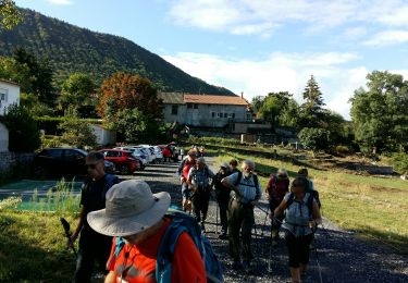
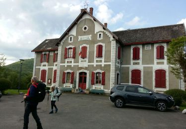
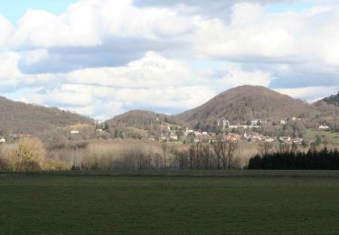
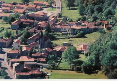
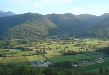
Trail Walking Sauveterre-de-Comminges - Les hameaux de Sauveterre - Sauveterre de Comminges - Photo

Les hameaux de Sauveterre - Sauveterre de Comminges

 tracegps
tracegps

User

© OpenStreetMap contributors
Length
Length
8.1 km
Max alt
Max alt
520 m
Uphill gradient
Uphill gradient
214 m
Km-Effort
Km-Effort  
10.9 km
Min alt
Min alt
428 m
Downhill gradient
Downhill gradient
212 m
Boucle
Boucle
Yes
Creation date :
2014-12-10 00:00:00.0
Updated on :
2014-12-10 00:00:00.0

(0 Reviews)

Walking
Walking
2h30
Difficulty : Medium

Scan this QR Code to open this trail in the SityTrail application

FREE GPS app for hiking

Logo SityTrail SityTrail

IGN / Geographical institutes

Download SityTrail from the App Store Download SityTrail from Google Play

Logo SityTrail SityTrail World

The world is yours!

Download SityTrail from the App Store Download SityTrail from Google Play Download SityTrail on Huawei AppGallery

About

Trail Walking of 8.1 km to be discovered at Occitania, Haute-Garonne, Sauveterre-de-Comminges. This trail is proposed by tracegps.

Description

Une collection de 10 fiches de randonnées pédestres et 13 fiches dédiées au VTT vous sont proposées par la Communauté de communes du Haut Comminges. Départ de la mairie de Sauveterre (Brucan). Etrange communauté, unique en France, où chaque hameau porte son propre nom. Au Moyen-âge, ces 11 hameaux se rassemblent sous le nom de Sauveterre afin de se protéger des envahisseurs. En 1936, pour des raisons d'identification, Sauveterre ajoutait l’appellation de son ancien comté « de Comminges ». Situé au cœur d'un cirque verdoyant, Sauveterre-de-Comminges est dominé par une colline sur laquelle avait été construit au moyen âge, un grand château féodal dit de Gaston Phébus. Actuellement, seuls persistent un donjon carré du 11e siècle et une chapelle Notre-Dame très bien restaurée. Du haut de ce promontoire, les visiteurs découvrent avec surprise le superbe panorama environnant.

Elevation profile

Photos

Positioning

Country:
France
Region :
Occitania
Department/Province :
Haute-Garonne
Municipality :
Sauveterre-de-Comminges
Location:
Unknown
Start:(UTM)
309956 ; 4767214 (31T) N.

Trails nearby

Trail Walking Ardiège - Promenade autour d'Ardiège et de Cier de Rivière - Photo
Walking
tracegps

Walking

Easy
(1)
Ardiège, Occitania, Haute-Garonne, France
5 km | 6.4 km-effort
1h 15min
Yes
Trail Walking Barbazan - Tour de Barbazan - Photo
Walking
tracegps

Walking

Easy
(2)
Barbazan, Occitania, Haute-Garonne, France
5.7 km | 7.3 km-effort
1h 30min
Yes
Trail Mountain bike Sauveterre-de-Comminges - sunday spin 8/6/14 - Photo
Mountain bike
ray23

Mountain bike

Difficult
(2)
Sauveterre-de-Comminges, Occitania, Haute-Garonne, France
18.2 km | 26 km-effort
2h 10min
Yes
Trail On foot Barbazan - BARBAZAN  le refuge saint-martin G3 Fait
On foot
GUIDE
marmotte65

On foot

Easy
Barbazan, Occitania, Haute-Garonne, France
11.2 km | 18.1 km-effort
3h 34min
Yes
Trail Walking Cier-de-Rivière - CIER DE RIVIERE col de Couret et de l'Aouach  G4  - Photo
Walking
GUIDE
marmotte65

Walking

Difficult
Cier-de-Rivière, Occitania, Haute-Garonne, France
10.9 km | 15.1 km-effort
3h 20min
Yes
Trail Walking Barbazan - de barbazan au refuge st Martin  - Photo
Walking
yoyo31

Walking

Medium
Barbazan, Occitania, Haute-Garonne, France
10.5 km | 16.5 km-effort
2h 25min
Yes
Trail Mountain bike Barbazan - Les collines du Comminges  n°16 - Barbazan - Photo
Mountain bike
tracegps

Mountain bike

Difficult
Barbazan, Occitania, Haute-Garonne, France
30 km | 39 km-effort
3h 0min
Yes
Trail Mountain bike Bertren - Galié - Ore - Bagiry - Bertren  n° 12  -  Bertren - Photo
Mountain bike
tracegps

Mountain bike

Easy
Bertren, Occitania, Hautespyrenees, France
10.5 km | 11.3 km-effort
1h 0min
Yes
Trail Mountain bike Sauveterre-de-Comminges - Le tour du Barry - Sauveterre de Comminges - Photo
Mountain bike
tracegps

Mountain bike

Medium
Sauveterre-de-Comminges, Occitania, Haute-Garonne, France
15.3 km | 19.1 km-effort
1h 30min
Yes


Close
My subscriptions