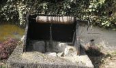
Trail Walking Marcq - Randonnée à Marcq - Photo

Randonnée à Marcq

 tracegps
tracegps

User

© OpenStreetMap contributors
Length
Length
14.3 km
Max alt
Max alt
251 m
Uphill gradient
Uphill gradient
236 m
Km-Effort
Km-Effort  
17.4 km
Min alt
Min alt
131 m
Downhill gradient
Downhill gradient
236 m
Boucle
Boucle
Yes
Creation date :
2014-12-10 00:00:00.0
Updated on :
2014-12-10 00:00:00.0

(0 Reviews)

Walking
Walking
3h00
Difficulty : Medium

Scan this QR Code to open this trail in the SityTrail application

FREE GPS app for hiking

Logo SityTrail SityTrail
IGN / Geographical institutes

Download SityTrail from the App Store Download SityTrail from Google Play

Logo SityTrail SityTrail World

The world is yours!

Download SityTrail from the App Store Download SityTrail from Google Play Download SityTrail on Huawei AppGallery

About

Trail Walking of 14.3 km to be discovered at Grand Est, Ardennes, Marcq. This trail is proposed by tracegps.

Description

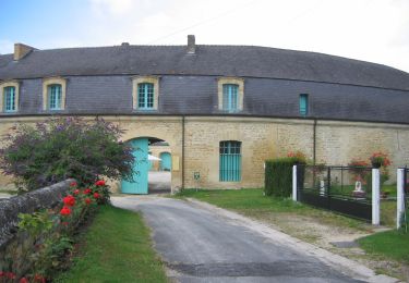
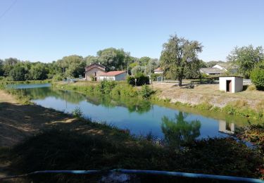
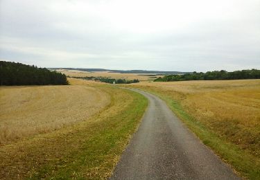
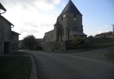
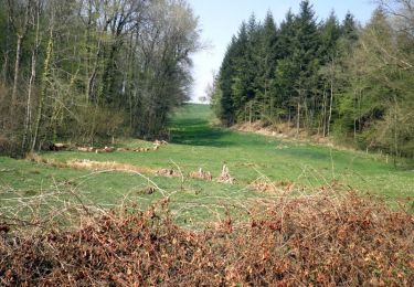
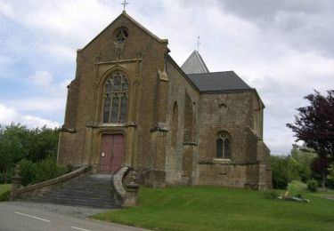
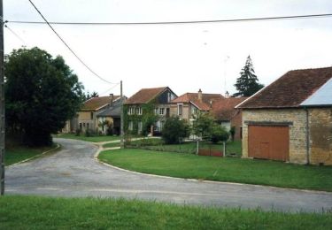
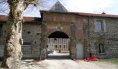
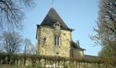
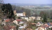
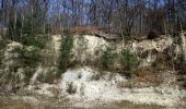
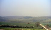
Agréable promenade dans la forêt de l'Argonne par de larges chemins forestiers; sur les collines entre les vallées de l'Air et de l'Aisne. Juste avant Cornay, monter à droite sur le belvédère. Jolie vue sur la vallée de l'Air. Après les étangs un beau chemin creux bordé par le grès (pierre d'Argonne) voir l'ancien prieuré de Cornay et les maisons anciennes. Le château de Marcq à 2km l'église fortifiée de Saint Juvin (4 tours).

Elevation profile

Photos

Positioning

Country:
France
Region :
Grand Est
Department/Province :
Ardennes
Municipality :
Marcq
Location:
Unknown
Start:(UTM)
640022 ; 5464759 (31U) N.

Trails nearby

Trail On foot Buzancy - La Chapelle de Masmes - Photo
On foot
GUIDE+

On foot

Easy
Buzancy, Grand Est, Ardennes, France
11.4 km | 14.1 km-effort
3h 11min
Yes
Trail Mountain bike Laneuville-sur-Meuse - 55 Laneuville boucle par prairie Cervisy  éoliennes champs  - Photo
Mountain bike
SyMA

Mountain bike

Very easy
Laneuville-sur-Meuse, Grand Est, Meuse, France
15.5 km | 17.3 km-effort
1h 16min
Yes
Trail Walking Laneuville-sur-Meuse - laneuville vers wiseppe prairie et bois - Photo
Walking
SyMA

Walking

Easy
Laneuville-sur-Meuse, Grand Est, Meuse, France
8.6 km | 9.8 km-effort
1h 49min
Yes
Trail Walking Vauquois - les chemins de la mémoire - Photo
Walking
cath310

Walking

Difficult
Vauquois, Grand Est, Meuse, France
28 km | 35 km-effort
6h 55min
No
Trail Motor Stenay - From the Citadel to the Rotunda - Photo
Motor
cdm1418

Motor

Very easy
Stenay, Grand Est, Meuse, France
56 km | 66 km-effort
3h 48min
Yes
Trail Walking Saint-Pierremont - De St Pierremont à Vaux en Dieulet - Photo
Walking
tracegps

Walking

Difficult
Saint-Pierremont, Grand Est, Ardennes, France
16.3 km | 19.9 km-effort
3h 34min
Yes
Trail Walking La Croix-aux-Bois - Forêt de la Croix aux Bois - Photo
Walking
tracegps

Walking

Medium
La Croix-aux-Bois, Grand Est, Ardennes, France
16.1 km | 19.7 km-effort
3h 0min
Yes
Trail Mountain bike Autruche - Autour d'Autruche  - Photo
Mountain bike
tracegps

Mountain bike

Easy
Autruche, Grand Est, Ardennes, France
10 km | 11.9 km-effort
30min
Yes
Trail Walking Autruche - Autour d'Autruche  - Photo
Walking
tracegps

Walking

Medium
Autruche, Grand Est, Ardennes, France
10 km | 11.9 km-effort
2h 30min
Yes


Close
My subscriptions