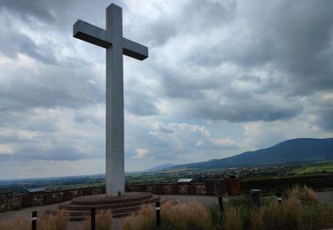
20 km | 29 km-effort
tour krauthergersheim
la_hulotte
User
Length
20 km
Max alt
181 m
Uphill gradient
106 m
Km-Effort
22 km
Min alt
148 m
Downhill gradient
104 m
Boucle
Yes
Creation date :
2014-12-10 00:00:00.0
Updated on :
2014-12-10 00:00:00.0
2h39
Difficulty : Unknown
FREE GPS app for hiking
About
Trail Mountain bike of 20 km to be discovered at Grand Est, Bas-Rhin, Obernai. This trail is proposed by la_hulotte.
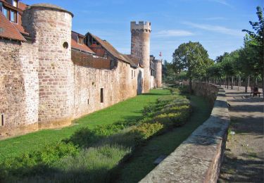
Positioning
Country:
France
Region :
Grand Est
Department/Province :
Bas-Rhin
Municipality :
Obernai
Location:
Unknown
Start:(Dec)
Start:(UTM)
388993 ; 5368902 (32U) N.
Comments
Trails nearby
Sainte-Odile East-Face
Mountain bike
Difficult
(1)
Ottrott,
Grand Est,
Bas-Rhin,
France
24 km | 39 km-effort
3h 0min
Yes
Circuit du Vignoble
On foot
Easy
Rosheim,
Grand Est,
Bas-Rhin,
France
8.8 km | 11.7 km-effort
2h 38min
Yes
Circuit des Balcons
On foot
Easy
(1)
Bischoffsheim,
Grand Est,
Bas-Rhin,
France
12.4 km | 15.4 km-effort
3h 30min
Yes
schnacker tour le grand 8 circuit magique
Mountain bike
Difficult
(1)
Rosheim,
Grand Est,
Bas-Rhin,
France
29 km | 39 km-effort
2h 30min
Yes
2015-05-17 Marche Gourmande Rosenwiller
Walking
Easy
(1)
Rosenwiller,
Grand Est,
Bas-Rhin,
France
8.8 km | 11 km-effort
2h 23min
No
Rosheim Grendelbruch
Electric bike
Medium
Rosheim,
Grand Est,
Bas-Rhin,
France
49 km | 59 km-effort
3h 13min
Yes
un tour dans le vignoble Bischoffsheim
Electric bike
Very easy
Bischoffsheim,
Grand Est,
Bas-Rhin,
France
49 km | 57 km-effort
3h 25min
No
240628 - Obernai - VVF-Nordberg
Walking
Medium
Obernai,
Grand Est,
Bas-Rhin,
France
5.3 km | 6.8 km-effort
2h 17min
Yes