


5.7 km | 8.3 km-effort


User


FREE GPS app for hiking
 SityTrail
IGN / Geographical institutes
SityTrail World
The world is yours!
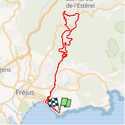
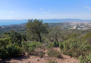
Trail Mountain bike of 36 km to be discovered at Provence-Alpes-Côte d'Azur, Var, Saint-Raphaël. This trail is proposed by barberou.
Saint-Raphaël
Piste du Porfait
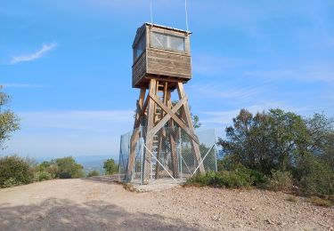
Maison Forestière du Malpey
Col du Logis de Paris
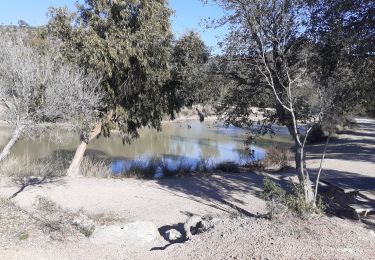
Lac de l'Avellan
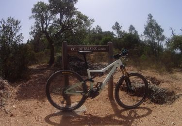
Col du Testanier
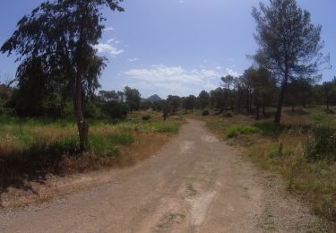
Retour par GR49


Walking

Walking

Electric bike
Walking
Walking
Walking
Mountain bike
Mountain bike
Mountain bike
Très beau parcours,simple et agréable,si ce n’est qu’il emprunte des chemins interdits à tte circulation !!!!