


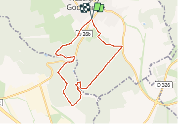


4.6 km | 5.4 km-effort

User


FREE GPS app for hiking
 SityTrail
IGN / Geographical institutes
SityTrail World
The world is yours!
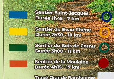
Trail Walking of 7.5 km to be discovered at Grand Est, Meurthe-et-Moselle, Hussigny-Godbrange. This trail is proposed by scad.dp.
2 bonnes côtes jalonnent le parcours.


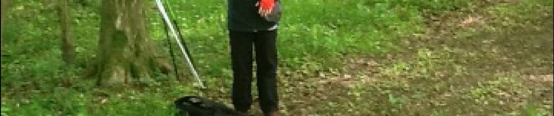
On foot

On foot
On foot
On foot

Mountain bike


sport

Walking

On foot
Walking