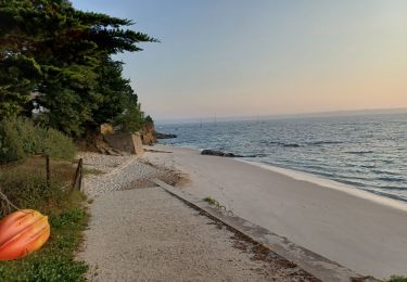
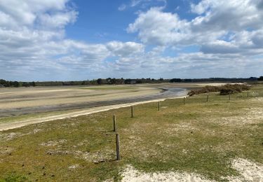
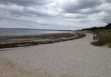
Trail Mountain bike Fouesnant - Le tour de Fouesnant - Photo

Le tour de Fouesnant

 CHEVE
CHEVE

User

© OpenStreetMap contributors
Length
Length
34 km
Max alt
Max alt
69 m
Uphill gradient
Uphill gradient
309 m
Km-Effort
Km-Effort  
38 km
Min alt
Min alt
0 m
Downhill gradient
Downhill gradient
310 m
Boucle
Boucle
Yes
Creation date :
2018-06-14 00:00:00.0
Updated on :
2018-06-14 00:00:00.0

(1 Reviews)

Mountain bike
Mountain bike
--
Difficulty : Very easy

Scan this QR Code to open this trail in the SityTrail application

FREE GPS app for hiking

Logo SityTrail SityTrail

IGN / Geographical institutes

Download SityTrail from the App Store Download SityTrail from Google Play

Logo SityTrail SityTrail World

The world is yours!

Download SityTrail from the App Store Download SityTrail from Google Play Download SityTrail on Huawei AppGallery

About

Trail Mountain bike of 34 km to be discovered at Brittany, Finistère, Fouesnant. This trail is proposed by CHEVE.

Description

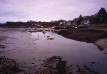
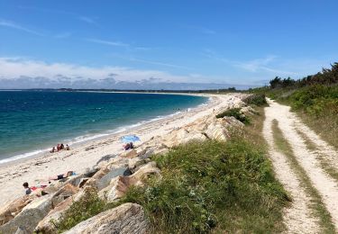
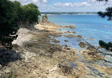
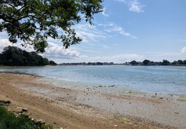
Le littoral et le bocage fouesnantais, ces deux circuits vous emm�nent � la d�couverte du "tout Fouesnant" par les chemins de traverse.ces superbes itin�raires commencent par une balade tranquille le long de la dune et au travers du polder de Mousterlin. Terrain relativement plat, c'est donc un acc�s tr�s tranquille.Seule la remont�e vers le bourg para�tra un peu longue sur ce faux plat.Attention, apr�s le passage de la digue en direction du Cap Coz l'itin�raire devient impraticable � mar�e haute par un coefficient sup�rieur � 80.Ce circuit est propos� par l'office de tourisme de Fouesnant-les Gl�nans, et fait l'objet d'une fiche d�taill�e dans le fascicule "Randonn�es � VTT" �dit� par le pays touristique de QUIMPER, disponible dans les OT de la r�gion de QUIMPER.Merci � eux.

Elevation profile

Positioning

Country:
France
Region :
Brittany
Department/Province :
Finistère
Municipality :
Fouesnant
Location:
Unknown
Start:(UTM)
425275 ; 5304017 (30T) N.

Comments

Please log in to post a review or rate the element


Trails nearby

Trail Walking Fouesnant - GR34. Beg Meil  --  Concarneau (+visite de la Ville Close) - Photo
Walking
donda

Walking

Medium
Fouesnant, Brittany, Finistère, France
24 km | 27 km-effort
6h 5min
No
Trail Running Fouesnant - Des dunes à la mer blanche - Photo
Running
caroline83150

Running

Very easy
Fouesnant, Brittany, Finistère, France
18.8 km | 19.8 km-effort
2h 18min
Yes
Trail Walking Fouesnant - De Beg Meil à Concarneau  - Photo
Walking
RonanDAGORN

Walking

Very difficult
Fouesnant, Brittany, Finistère, France
28 km | 31 km-effort
7h 1min
No
Trail Walking Fouesnant - dune de MOUSTERLIN - Photo
Walking
0010Jacem.1957

Walking

Very easy
Fouesnant, Brittany, Finistère, France
8.9 km | 9.3 km-effort
2h 36min
Yes
Trail Walking Fouesnant - Fouesnant  - Photo
Walking
RonanDAGORN

Walking

Medium
Fouesnant, Brittany, Finistère, France
26 km | 29 km-effort
6h 23min
Yes
Trail Walking Fouesnant - Balade autour de la zone naturelle - Photo
Walking
cess44

Walking

Medium
(1)
Fouesnant, Brittany, Finistère, France
12.3 km | 12.9 km-effort
2h 55min
Yes
Trail Walking Fouesnant - Beg Meil - Mousterlin - Photo
Walking
jpblimond

Walking

Medium
Fouesnant, Brittany, Finistère, France
14.6 km | 15.5 km-effort
5h 27min
Yes
Trail Walking Fouesnant - Du Cap Coz à Beg Meil  - Photo
Walking
jpblimond

Walking

Difficult
Fouesnant, Brittany, Finistère, France
12.2 km | 13.9 km-effort
3h 9min
Yes
Trail Walking Fouesnant - Forêt Fouesnant  - Photo
Walking
jpblimond

Walking

Easy
Fouesnant, Brittany, Finistère, France
8.1 km | 9.3 km-effort
1h 59min
Yes


Close
My subscriptions