Trail Other activity Lagrasse - Alaric par Montlaur - Photo

Alaric par Montlaur

 AAA34
AAA34

User

© OpenStreetMap contributors
Length
Length
9.9 km
Max alt
Max alt
597 m
Uphill gradient
Uphill gradient
472 m
Km-Effort
Km-Effort  
16.2 km
Min alt
Min alt
132 m
Downhill gradient
Downhill gradient
473 m
Boucle
Boucle
Yes
Creation date :
2014-12-10 00:00:00.0
Updated on :
2014-12-10 00:00:00.0

(1 Reviews)

Other activity
Other activity
--
Difficulty : Unknown

Scan this QR Code to open this trail in the SityTrail application

FREE GPS app for hiking

Logo SityTrail SityTrail

IGN / Geographical institutes

Download SityTrail from the App Store Download SityTrail from Google Play

Logo SityTrail SityTrail World

The world is yours!

Download SityTrail from the App Store Download SityTrail from Google Play Download SityTrail on Huawei AppGallery

About

Trail Other activity of 9.9 km to be discovered at Occitania, Aude, Lagrasse. This trail is proposed by AAA34.

Elevation profile

Positioning

Country:
France
Region :
Occitania
Department/Province :
Aude
Municipality :
Lagrasse
Location:
Unknown
Start:(UTM)
468654 ; 4774943 (31T) N.

Comments

Please log in to post a review or rate the element


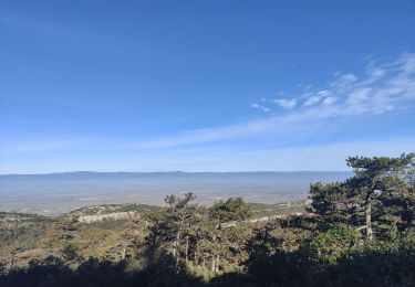
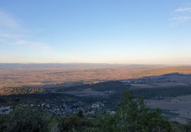
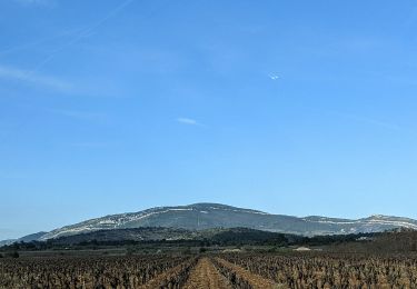
Très beau circuit surtout quand le ciel est clair. Vue sur les Pyrénées et la Méditerranée. C'est superbe. Du signal le panorama est exceptionnel.


Trails nearby

Trail Walking Comigne - Signal Alaric par Comigne combe Mijere Roc gris  - Photo
Walking
GUIDE
Ada11

Walking

Medium
Comigne, Occitania, Aude, France
13.6 km | 21 km-effort
5h 15min
Yes
Trail Walking Moux - Sur les pas de Roland - Signal d'Alaric - La Caune  - Photo
Walking
jacques delaporte

Walking

Very difficult
Moux, Occitania, Aude, France
17 km | 26 km-effort
5h 25min
Yes
Trail Walking Moux - Le signal de  l'alaric - Photo
Walking
F.Rioland

Walking

Medium
Moux, Occitania, Aude, France
24 km | 32 km-effort
3h 37min
No
Trail Other activity Fabrezan - Fabrezan - Photo
Other activity
danielm31

Other activity

Easy
Fabrezan, Occitania, Aude, France
5.3 km | 6.8 km-effort
1h 54min
No
Trail Walking Comigne - chateau de miramont - Photo
Walking
yvessavoy

Walking

Very easy
(1)
Comigne, Occitania, Aude, France
17.2 km | 25 km-effort
5h 0min
Yes
Trail Walking Tournissan - En Corbières - La Roche Trouée - Tournissan - Photo
Walking
tracegps

Walking

Medium
Tournissan, Occitania, Aude, France
4.9 km | 6.9 km-effort
2h 0min
Yes
Trail Walking Lagrasse - Le pied de Charlemagne  - Photo
Walking
Randojean

Walking

Very easy
Lagrasse, Occitania, Aude, France
6.4 km | 8.9 km-effort
2h 3min
Yes
Trail Walking Lagrasse - Lagrasse - Photo
Walking
Taupunzien

Walking

Very difficult
Lagrasse, Occitania, Aude, France
17.5 km | 24 km-effort
4h 36min
Yes
Trail Walking Camplong-d'Aude - La Montagne d'Alaric - Le Roc de l'Aigle - Photo
Walking
Cabaretou

Walking

Difficult
Camplong-d'Aude, Occitania, Aude, France
13.4 km | 21 km-effort
4h 48min
Yes


Close
My subscriptions