


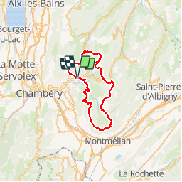


7.6 km | 15 km-effort


User


FREE GPS app for hiking
 SityTrail
IGN / Geographical institutes
SityTrail World
The world is yours!
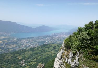
Trail Running of 47 km to be discovered at Auvergne-Rhône-Alpes, Savoy, Saint-Jean-d'Arvey. This trail is proposed by pzellner.
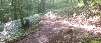
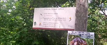
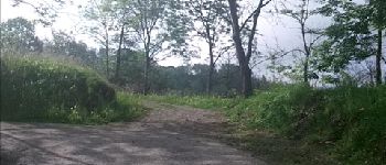
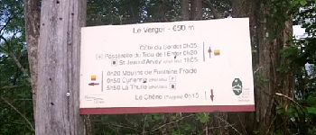
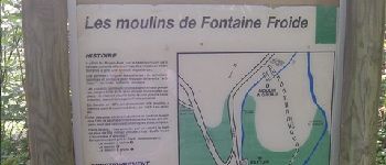
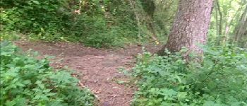
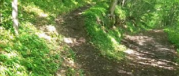
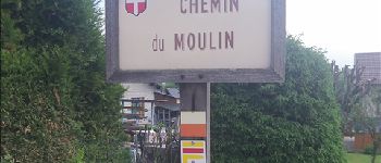
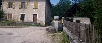
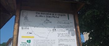
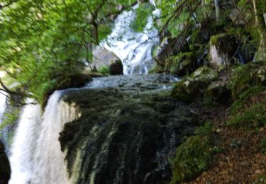
Une belle randonnée trouvée sur le site du parc des Bauges (http://www.parcdesbauges.com/randonnee.html) à faire en 3 jours ou une journée en rando-course. L'itinéraire est globalement bien balisé.


Walking

Mountain bike

Walking

Cycle

Walking
Mountain bike

Walking
Walking
Walking