


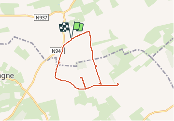

17 km | 23 km-effort

User


FREE GPS app for hiking
 SityTrail
IGN / Geographical institutes
SityTrail World
The world is yours!
Trail Walking of 6.1 km to be discovered at Wallonia, Namur, Yvoir. This trail is proposed by pjjrevrard.
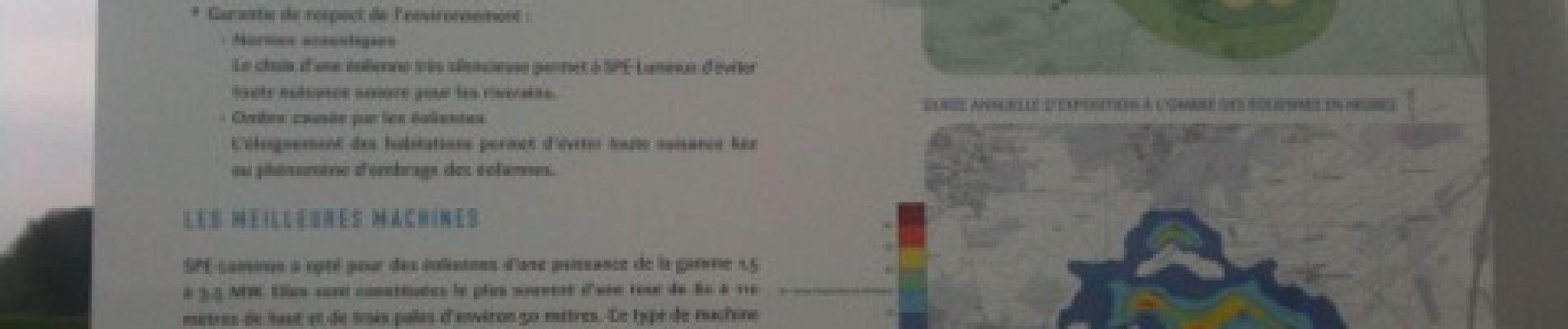
Cette boucle est un peu plus longue que la "balade des éoliennes" proposée par SPE-Luminus et qui relie 5 des 6 éoliennes de leur parc d'Yvoir-Dinant.


Walking

Walking

Walking

Walking

Walking

Walking

Walking

Walking
Walking