


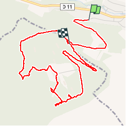


13.2 km | 17.8 km-effort

User


FREE GPS app for hiking
 SityTrail
IGN / Geographical institutes
SityTrail World
The world is yours!
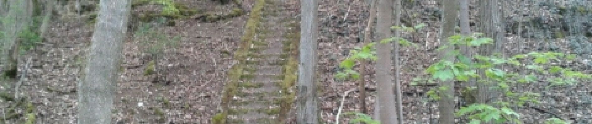
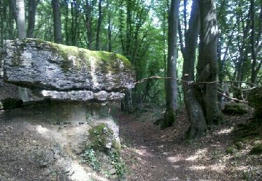
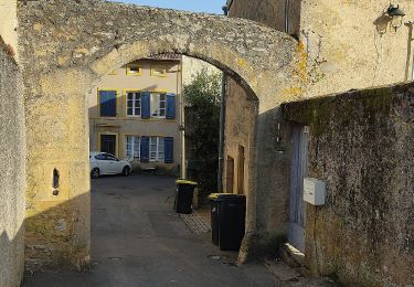
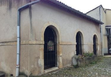
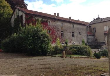
Trail Walking of 6.7 km to be discovered at Grand Est, Moselle, Ars-sur-Moselle. This trail is proposed by thomasmangon.


Walking
On foot

On foot

On foot

Mountain bike

On foot
Mountain bike
Le Fort Driant est interdit à toute visite non autorisée par l'armée car c'est un domaine militaire conformément à l'affichage en place...! Outre les risques encourus, vous êtes passible d'une amende... Méditer... https://m.facebook.com/fortdriant/