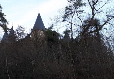
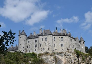
Trail Walking Dinant - Balade dans la vallée de la Haute Meuse - De Dinant à Dréhance - Photo

Balade dans la vallée de la Haute Meuse - De Dinant à Dréhance

 Desrumaux
Desrumaux

User GUIDE

© OpenStreetMap contributors
Length
Length
12.8 km
Max alt
Max alt
277 m
Uphill gradient
Uphill gradient
390 m
Km-Effort
Km-Effort  
18 km
Min alt
Min alt
94 m
Downhill gradient
Downhill gradient
391 m
Boucle
Boucle
Yes
Creation date :
2014-12-10 00:00:00.0
Updated on :
2014-12-10 00:00:00.0

(0 Reviews)

Walking
Walking
3h30
Difficulty : Medium

Scan this QR Code to open this trail in the SityTrail application

FREE GPS app for hiking

Logo SityTrail SityTrail

IGN / Geographical institutes

Download SityTrail from the App Store Download SityTrail from Google Play

Logo SityTrail SityTrail World

The world is yours!

Download SityTrail from the App Store Download SityTrail from Google Play Download SityTrail on Huawei AppGallery

About

Trail Walking of 12.8 km to be discovered at Wallonia, Namur, Dinant. This trail is proposed by Desrumaux.

Description

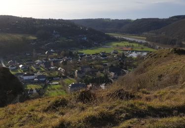
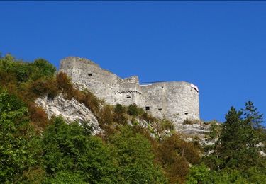
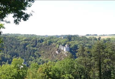
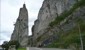
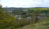
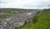
Dinant s’étend entre une falaise et une rivière. Situé au cœur de la province de Namur, Dinant est véritablement «fille de Meuse». Ville natale d’Adolphe Sax, inventeur du saxophone elle est réputée pour ses dinanderies et ses couques. C'est un lieu incontournable, déjà parce que la citadelle de Dinant, solidement ancrée sur un piton rocheux, offre une vue imprenable sur la ville, là-bas, tout en bas. Et bien sûr aussi sur la Meuse, que l'on voit enjambée par le pont Charles De Gaulle, ce qui n'empêche pas le fleuve d'étaler majestueusement ses ambitions naturelles. A gauche, fièrement pointé vers le ciel, voici le célèbre rocher Bayard, qui doit son nom à la légende ardennaise des quatre fils Aymon ®Départ : Parking de la citadelle.

Elevation profile

Photos

Points of interest

Point of interest Dinant - Dinant - Photo
Desrumaux
DINANT 
Point of interest Dinant - Dinant - Photo
Desrumaux
DINANT 
Point of interest Dinant - Dinant - Photo
Desrumaux
DINANT 
Point of interest Dinant - Dinant - Photo
Desrumaux
DINANT 
Point of interest Dinant - Dréhance - Photo
Desrumaux
DINANT 
Point of interest Dinant - Taravisée - Photo
Desrumaux
DINANT 

Positioning

Country:
Belgium
Region :
Wallonia
Department/Province :
Namur
Municipality :
Dinant
Location:
Dinant
Start:(UTM)
636483 ; 5569529 (31U) N.

Trails nearby

Trail Walking Dinant - RB-Na-24-Entre Lesse et Meuse - Photo
Walking
PRO

Walking

Very difficult
(14)
Dinant, Wallonia, Namur, Belgium
19.3 km | 26 km-effort
5h 57min
Yes
Trail Walking Yvoir - RB-Na-03 Forteresses, citadelle et abbaye mosanes - Photo
Walking
PRO

Walking

Difficult
(11)
Yvoir, Wallonia, Namur, Belgium
22 km | 30 km-effort
7h 1min
Yes
Trail Walking Dinant - Balade à Dinant - La Réserve Naturelle de Moniat - Photo
Walking
GUIDE
Desrumaux

Walking

Very easy
(1)
Dinant, Wallonia, Namur, Belgium
8.4 km | 10.9 km-effort
3h 54min
Yes
Trail Walking Dinant - D'Anseremme à Dinant - Photo
Walking
GUIDE
Desrumaux

Walking

Easy
(3)
Dinant, Wallonia, Namur, Belgium
8.3 km | 11.8 km-effort
2h 34min
Yes
Trail Walking Dinant - Balade à Bouvignes - Photo
Walking
GUIDE
Desrumaux

Walking

Easy
(3)
Dinant, Wallonia, Namur, Belgium
4.8 km | 7.2 km-effort
1h 34min
Yes
Trail Walking Dinant - Balade en Réserve Naturelle de Devant Bouvignes - Photo
Walking
GUIDE
Desrumaux

Walking

Very easy
(3)
Dinant, Wallonia, Namur, Belgium
4.9 km | 6.9 km-effort
1h 32min
Yes
Trail Walking Dinant - Dinant: autour de la Citadelle.  - Photo
Walking
godi

Walking

Easy
(4)
Dinant, Wallonia, Namur, Belgium
5.7 km | 7.5 km-effort
1h 40min
Yes
Trail Walking Houyet - Vèves - Furfooz  - Photo
Walking
GUIDE
Michel1963

Walking

Medium
(2)
Houyet, Wallonia, Namur, Belgium
11.6 km | 15.8 km-effort
2h 57min
Yes
Trail Walking Dinant - RB-Na-24-racc-Entre Lesse et Meuse - Photo
Walking
PRO

Walking

Very difficult
(4)
Dinant, Wallonia, Namur, Belgium
18.5 km | 24 km-effort
5h 29min
Yes


Close
My subscriptions