


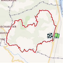

31 km | 41 km-effort


User


FREE GPS app for hiking
 SityTrail
IGN / Geographical institutes
SityTrail World
The world is yours!
Trail Walking of 11.6 km to be discovered at Auvergne-Rhône-Alpes, Ardèche, Cornas. This trail is proposed by fredlerandonneur.
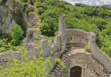
un parcours très sympa, alternant chemin, sentier et passage sur route communale.
De beaux panorama sur le vignoble et la vallée du Rhône

Mountain bike
Walking

Walking
Walking

Walking
Walking

Walking

Walking

Walking