16.4 km | 22 km-effort
pelouse calcaire
bohynm
User
Length
11.8 km
Max alt
391 m
Uphill gradient
333 m
Km-Effort
16.3 km
Min alt
204 m
Downhill gradient
330 m
Boucle
Yes
Creation date :
2014-12-10 00:00:00.0
Updated on :
2014-12-10 00:00:00.0
3h28
Difficulty : Easy
FREE GPS app for hiking
About
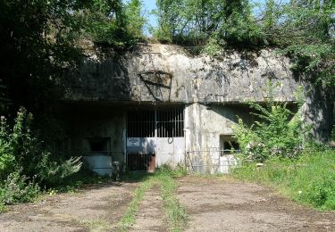
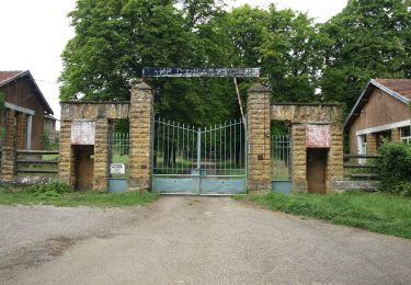
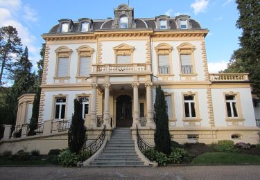
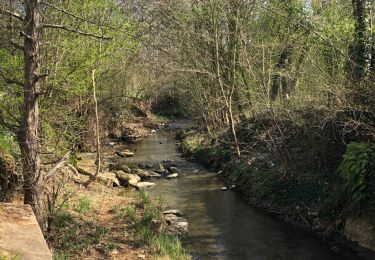
Trail Walking of 11.8 km to be discovered at Grand Est, Moselle, Thionville. This trail is proposed by bohynm.
Description
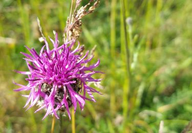
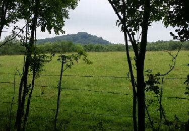
superbe promenade dans un milieu bien protégé: découverte d''une flore et faune incroyable!
Positioning
Country:
France
Region :
Grand Est
Department/Province :
Moselle
Municipality :
Thionville
Location:
Unknown
Start:(Dec)
Start:(UTM)
288270 ; 5472111 (32U) N.
Comments
Trails nearby
saint Michel 1
Walking
Very easy
(1)
Thionville,
Grand Est,
Moselle,
France
5.4 km | 7.7 km-effort
1h 38min
Yes
Boucle d'Escherange
On foot
Easy
Angevillers,
Grand Est,
Moselle,
France
7.6 km | 10 km-effort
2h 16min
Yes
Circuit de Chalet - Bois de la Côte
On foot
Easy
Thionville,
Grand Est,
Moselle,
France
4.4 km | 5.6 km-effort
1h 15min
Yes
Circuit du Plateau d'Algrange
On foot
Easy
Nilvange,
Grand Est,
Moselle,
France
9.8 km | 13.9 km-effort
3h 9min
No
En suivant le ruisseau Metzange de Volkrange au Parc Napoléon.
On foot
Medium
Thionville,
Grand Est,
Moselle,
France
23 km | 26 km-effort
5h 50min
Yes
boucle forêt Thionville
Walking
Medium
Thionville,
Grand Est,
Moselle,
France
9.8 km | 13.2 km-effort
2h 7min
Yes