22 km | 28 km-effort
Sur les hauteurs de Hun
bigsbeeone
User
Length
6.7 km
Max alt
194 m
Uphill gradient
200 m
Km-Effort
9.4 km
Min alt
93 m
Downhill gradient
199 m
Boucle
Yes
Creation date :
2014-12-10 00:00:00.0
Updated on :
2014-12-10 00:00:00.0
--
Difficulty : Easy
FREE GPS app for hiking
About
Trail Walking of 6.7 km to be discovered at Wallonia, Namur, Anhée. This trail is proposed by bigsbeeone.
Description
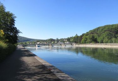
Parcours entre Hun et Anhée, en longeant la Molignée par un petit sentier.
Positioning
Country:
Belgium
Region :
Wallonia
Department/Province :
Namur
Municipality :
Anhée
Location:
Annevoie-Rouillon
Start:(Dec)
Start:(UTM)
632680 ; 5577304 (31U) N.
Comments
Trails nearby
GG-Na-19_ Lustin - Namur
Walking
Very difficult
(13)
Profondeville,
Wallonia,
Namur,
Belgium
6h 7min
No
RB-Na-22-raccourci_Vignobles-et-Jardins-d’eau
Walking
Very difficult
(6)
Anhée,
Wallonia,
Namur,
Belgium
16.7 km | 21 km-effort
4h 52min
Yes
RB-Na-22_Vignobles-et-Jardins-d’eau
Walking
Very difficult
(11)
Anhée,
Wallonia,
Namur,
Belgium
19.5 km | 25 km-effort
5h 46min
Yes
RB-Na-21-Terres seigneuriales et carrières de la vallée du Bocq
Walking
Very difficult
(6)
Yvoir,
Wallonia,
Namur,
Belgium
22 km | 30 km-effort
6h 51min
Yes
RB-Na-20-Raccourci-2_Paysages_entre_Meuse_et_Burnot
Walking
Very difficult
(11)
Profondeville,
Wallonia,
Namur,
Belgium
14.6 km | 22 km-effort
4h 53min
Yes
RB-Na-20-Paysages_entre_Meuse_et_Burnot
Walking
Very difficult
(16)
Profondeville,
Wallonia,
Namur,
Belgium
18.5 km | 26 km-effort
5h 55min
Yes
RB-Na-03 Forteresses, citadelle et abbaye mosanes
Walking
Difficult
(11)
Yvoir,
Wallonia,
Namur,
Belgium
22 km | 30 km-effort
7h 1min
Yes
GG2-Na-38_Godinne-Dinant (2021-11-04)
Walking
Very difficult
(6)
Yvoir,
Wallonia,
Namur,
Belgium
19.5 km | 27 km-effort
6h 13min
No
RF-Na-05 Annevoie, côté Jardins_Grande-boucle
Walking
Medium
(11)
Anhée,
Wallonia,
Namur,
Belgium
11.3 km | 14.5 km-effort
3h 6min
Yes