


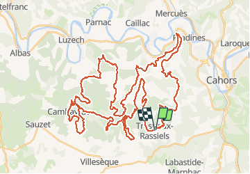

62 km | 81 km-effort


User


FREE GPS app for hiking
 SityTrail
IGN / Geographical institutes
SityTrail World
The world is yours!
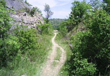
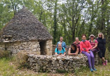
Trail Mountain bike of 74 km to be discovered at Occitania, Lot, Trespoux-Rassiels. This trail is proposed by J-Mi.
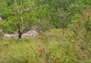
Un RAID VTT hors normes avec des mono traces et du technique pour les puristes. Les KM s'enchainent dans des paysages magnifiques.
Bon RAID J-Michel

Mountain bike
Walking

Walking

Mountain bike

Running
Walking
Mountain bike
Walking