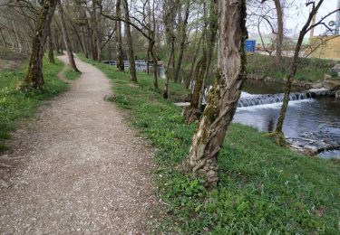
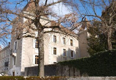
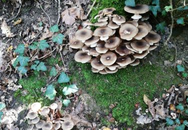
Trail Walking Avusy - athenaz tamie 2 - Photo

athenaz tamie 2

© OpenStreetMap contributors
Length
Length
69 km
Max alt
Max alt
917 m
Uphill gradient
Uphill gradient
1476 m
Km-Effort
Km-Effort  
87 km
Min alt
Min alt
396 m
Downhill gradient
Downhill gradient
993 m
Boucle
Boucle
No
Creation date :
2014-12-10 00:00:00.0
Updated on :
2014-12-10 00:00:00.0

(0 Reviews)

Walking
Walking
--
Difficulty : Unknown

Scan this QR Code to open this trail in the SityTrail application

FREE GPS app for hiking

Logo SityTrail SityTrail

IGN / Geographical institutes

Download SityTrail from the App Store Download SityTrail from Google Play

Logo SityTrail SityTrail World

The world is yours!

Download SityTrail from the App Store Download SityTrail from Google Play Download SityTrail on Huawei AppGallery

About

Trail Walking of 69 km to be discovered at Geneva, Unknown, Avusy. This trail is proposed by samterrier.

Elevation profile

Points of interest

Point of interest Copponex - 1/4 parcours 17.4 - Photo
samterrier
Point of interest Annecy - 1/2 parcours 34.8 km - Photo
samterrier
Point of interest Doussard - 3/4 parcous 52.1 km - Photo
samterrier
Point of interest Présilly - 10 Km - Photo
samterrier
PRÉSILLY 
Point of interest Cruseilles - 20 km - Photo
samterrier
CRUSEILLES 
Point of interest Annecy - 30 km - Photo
samterrier
ANNECY 
Point of interest Sevrier - 40 km - Photo
samterrier
SEVRIER 
Point of interest Faverges-Seythenex - 60 km - Photo
samterrier
FAVERGES-SEYTHENEX 
Point of interest Faverges-Seythenex - 65 km - Photo
samterrier
FAVERGES-SEYTHENEX 

Positioning

Country:
Switzerland
Region :
Geneva
Department/Province :
Unknown
Municipality :
Avusy
Location:
Unknown
Start:(UTM)
268781 ; 5115619 (32T) N.

Trails nearby

Trail Walking Saint-Julien-en-Genevois - Le long de l'Aire (Départ Thairy) - Photo
Walking
Petitchaperonvert

Walking

Easy
Saint-Julien-en-Genevois, Auvergne-Rhône-Alpes, Upper Savoy, France
14.6 km | 16.4 km-effort
3h 6min
Yes
Trail Walking Challex - Circuit du vignoble - Challex - Photo
Walking
tracegps

Walking

Easy
Challex, Auvergne-Rhône-Alpes, Ain, France
7 km | 8.8 km-effort
1h 45min
Yes
Trail Walking Chênex - Chenex champignons - Photo
Walking
philippe.michel10

Walking

Very easy
Chênex, Auvergne-Rhône-Alpes, Upper Savoy, France
3.5 km | 4.1 km-effort
2h 17min
No
Trail Walking Dardagny - wa31 - Photo
Walking
GUIDE+

Walking

Very easy
Dardagny, Geneva, Unknown, Switzerland
14.5 km | 17.2 km-effort
Unknown
No
Trail Walking Péron - trom - Photo
Walking
julien baumont

Walking

Easy
Péron, Auvergne-Rhône-Alpes, Ain, France
5.1 km | 5.5 km-effort
3h 29min
Yes
Trail Walking Challex - trompettes  - Photo
Walking
julien baumont

Walking

Easy
Challex, Auvergne-Rhône-Alpes, Ain, France
4.3 km | 5.2 km-effort
1h 49min
No
Trail Walking Viry - AuxGues - Photo
Walking
afleu

Walking

Very easy
Viry, Auvergne-Rhône-Alpes, Upper Savoy, France
12.7 km | 14.9 km-effort
5h 4min
Yes
Trail Walking Chancy - Ballade autour de Chancy - Photo
Walking
yveshumbert

Walking

Very easy
Chancy, Geneva, Unknown, Switzerland
5.2 km | 6.2 km-effort
1h 30min
Yes
Trail Walking Aire-la-Ville - Balade à la réserve des Moulins de Vert - Photo
Walking
vazitonton

Walking

Medium
Aire-la-Ville, Geneva, Unknown, Switzerland
8.1 km | 9.7 km-effort
2h 10min
Yes


Close
My subscriptions