


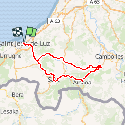

18.8 km | 27 km-effort


User


FREE GPS app for hiking
 SityTrail
IGN / Geographical institutes
SityTrail World
The world is yours!
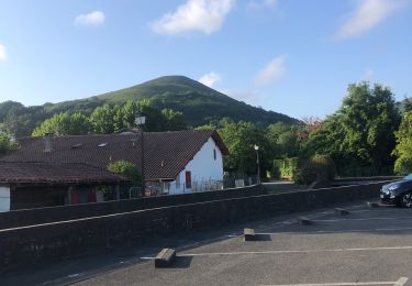
Trail Bicycle tourism of 53 km to be discovered at New Aquitaine, Pyrénées-Atlantiques, Saint-Jean-de-Luz. This trail is proposed by potofe.
Vélo 64
Rando N°5
Parcours 1/2 journée, légèrement vallonné, pour cyclotouriste moyen (entraînement de 1000 à 2000 km).Ne nécessite pas de petits braquets (38x24 ou 38x26 par exemple est suffisant).

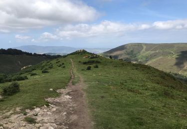
Walking

Walking

Walking

Mountain bike

Walking
Mountain bike
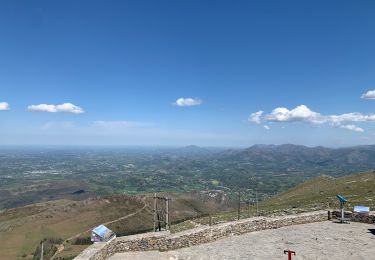
Walking
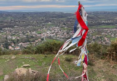
Walking
Walking