

Cazenave Serre et Allens - Foix

tracegps
User

Length
64 km

Max alt
927 m

Uphill gradient
1090 m

Km-Effort
79 km

Min alt
376 m

Downhill gradient
1090 m
Boucle
Yes
Creation date :
2014-12-10 00:00:00.0
Updated on :
2014-12-10 00:00:00.0
3h48
Difficulty : Difficult

FREE GPS app for hiking
About
Trail Cycle of 64 km to be discovered at Occitania, Ariège, Foix. This trail is proposed by tracegps.
Description
Circuit exigeant dans sa première partie jusqu'à Cazenave, mais retour fort sympathique par la rive droite de l'Ariège. Seul petit point noir est l'obligation de prendre la RN 20 à partir de SINSAT jusqu'à Ornolac. Vous n'êtes pas obligé d'aller à Surba, c'était juste pour rendre visite à des amis…
Positioning
Country:
France
Region :
Occitania
Department/Province :
Ariège
Municipality :
Foix
Location:
Unknown
Start:(Dec)
Start:(UTM)
386499 ; 4757045 (31T) N.
Comments
Trails nearby
Prat Albis - Verniolle


Mountain bike
Difficult
(1)
Ganac,
Occitania,
Ariège,
France

30 km | 36 km-effort
2h 30min
No

01 - FOIX à ROQUEFIXADE - Chemin des Bons-Hommes GR107 GR367


Walking
Difficult
Foix,
Occitania,
Ariège,
France

18.6 km | 30 km-effort
6h 36min
No
De Saint-Paul à Montgailhard


Walking
Medium
Saint-Paul-de-Jarrat,
Occitania,
Ariège,
France

9.9 km | 11.7 km-effort
2h 30min
Yes
pech de foix


Walking
Very easy
(1)
Foix,
Occitania,
Ariège,
France

7.5 km | 13.6 km-effort
3h 43min
Yes

prat - prayols 1


Mountain bike
Medium
(1)
Ganac,
Occitania,
Ariège,
France

7.7 km | 11.1 km-effort
41min
No
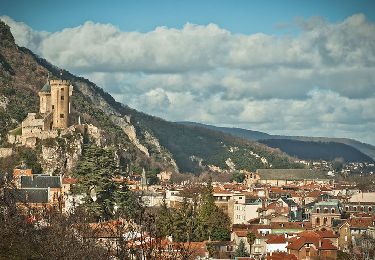
A vélo en Basse Ariège - Foix


Cycle
Medium
Foix,
Occitania,
Ariège,
France

97 km | 111 km-effort
4h 49min
Yes
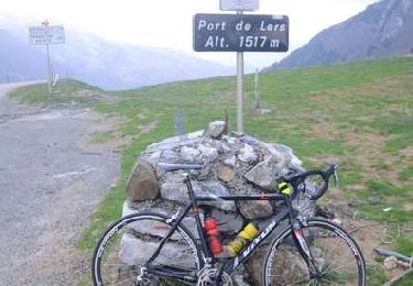
Port de Lers - Foix


Cycle
Difficult
Foix,
Occitania,
Ariège,
France

115 km | 152 km-effort
6h 7min
Yes
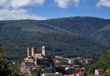
De Foix au lac de Montbel


Cycle
Difficult
Foix,
Occitania,
Ariège,
France

104 km | 124 km-effort
5h 0min
Yes


 SityTrail


