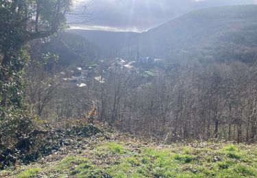
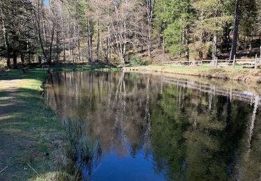
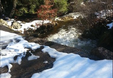
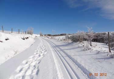
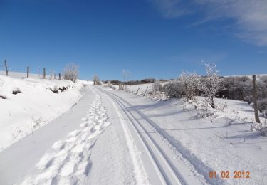
Trail Mountain bike Lacaune - Boucle du Bel Vespré - Lacaune - Photo

Boucle du Bel Vespré - Lacaune

 tracegps
tracegps

User

© OpenStreetMap contributors
Length
Length
15.7 km
Max alt
Max alt
1158 m
Uphill gradient
Uphill gradient
278 m
Km-Effort
Km-Effort  
19.4 km
Min alt
Min alt
986 m
Downhill gradient
Downhill gradient
277 m
Boucle
Boucle
Yes
Creation date :
2014-12-10 00:00:00.0
Updated on :
2014-12-10 00:00:00.0

(0 Reviews)

Mountain bike
Mountain bike
1h30
Difficulty : Medium

Scan this QR Code to open this trail in the SityTrail application

FREE GPS app for hiking

Logo SityTrail SityTrail

IGN / Geographical institutes

Download SityTrail from the App Store Download SityTrail from Google Play

Logo SityTrail SityTrail World

The world is yours!

Download SityTrail from the App Store Download SityTrail from Google Play Download SityTrail on Huawei AppGallery

About

Trail Mountain bike of 15.7 km to be discovered at Occitania, Tarn, Lacaune. This trail is proposed by tracegps.

Description

Départ du Col de Piquotalen. Découvrir les Monts de Lacaune et ses pistes de ski de fond par toutes les saisons. A pieds, en vélo ou en raquettes, à chacun son plaisir. 4h00 de marche ou 1h30 de vélo pour parcourir la boucle du Bel Vespré. Possibilité de découvrir un magnifique point de vue en chemin, (cf Roc des Ecus). Parcours parfaitement balisé. Parking en face du départ. Idéal randonneurs voulant découvrir les beauté de la montagne lacaunaise.

Elevation profile

Photos

Positioning

Country:
France
Region :
Occitania
Department/Province :
Tarn
Municipality :
Lacaune
Location:
Unknown
Start:(UTM)
473712 ; 4837637 (31T) N.

Trails nearby

Trail Walking Lacaune - 81-Lacaune - le Pic des Ecus - Photo
Walking
Jovila

Walking

Medium
(1)
Lacaune, Occitania, Tarn, France
12.6 km | 18.8 km-effort
3h 40min
Yes
Trail Walking Gijounet - Voir verte Gijounet - Photo
Walking
mrclic34

Walking

Easy
Gijounet, Occitania, Tarn, France
11.3 km | 14.6 km-effort
2h 52min
Yes
Trail Walking Lacaune - Sous bois de Martinou - Photo
Walking
cedric.fargues

Walking

Easy
(2)
Lacaune, Occitania, Tarn, France
7.3 km | 9.6 km-effort
2h 12min
Yes
Trail Walking Lacaune - Roumane - Photo
Walking
massout

Walking

Easy
Lacaune, Occitania, Tarn, France
8.2 km | 10.6 km-effort
2h 17min
Yes
Trail Snowshoes Lacaune - Boucle du Bel Vespré - Lacaune - Photo
Snowshoes
tracegps

Snowshoes

Very difficult
Lacaune, Occitania, Tarn, France
15.7 km | 19.4 km-effort
4h 0min
Yes
Trail Walking Lacaune - Boucle du Bel Vespré - Lacaune - Photo
Walking
tracegps

Walking

Difficult
Lacaune, Occitania, Tarn, France
15.7 km | 19.4 km-effort
4h 0min
Yes
Trail Walking Gijounet - Gijounet-Fontbonne - Photo
Walking
Lnmaffre

Walking

Very easy
Gijounet, Occitania, Tarn, France
12.3 km | 17.4 km-effort
5h 13min
No
Trail Walking Gijounet - 81_Gijounet - Photo
Walking
jab31

Walking

Very difficult
Gijounet, Occitania, Tarn, France
18.9 km | 28 km-effort
6h 15min
Yes
Trail Snowshoes Lacaune - Roumane - Photo
Snowshoes
massout

Snowshoes

Medium
Lacaune, Occitania, Tarn, France
8.4 km | 10.8 km-effort
1h 58min
Yes


Close
My subscriptions