


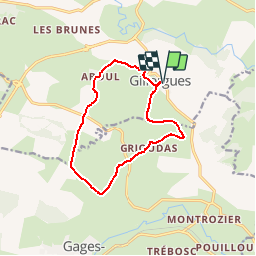

14.5 km | 19.9 km-effort


User


FREE GPS app for hiking
 SityTrail
IGN / Geographical institutes
SityTrail World
The world is yours!
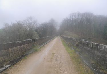
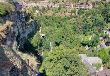
Trail Walking of 11.9 km to be discovered at Occitania, Aveyron, Bozouls. This trail is proposed by tracegps.
Randonnée facile, que du bon chemin, un petit morceau de sentiers agréables et du panorama quasiment tout au long du parcours, vous avez une petite grimpette en début de randonnée pour vous mettre en forme!!!


Walking
On foot
Walking
On foot


Walking
Mountain bike

Walking