


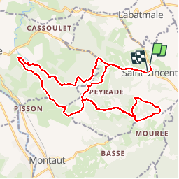

10.8 km | 13.8 km-effort


User


FREE GPS app for hiking
 SityTrail
IGN / Geographical institutes
SityTrail World
The world is yours!
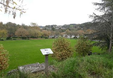
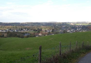
Trail Running of 24 km to be discovered at New Aquitaine, Pyrénées-Atlantiques, Saint-Vincent. This trail is proposed by tracegps.
Sortie course à pied sur les coteaux entre Saint Vincent, Coarraze et Montaut !! Un mélange de 2 randos du PLR de Vath Vielha !! Panoramas' tout le long, des montées, des descentes, une belle sortie !!


Walking
Walking

Walking
Walking
Walking

Walking

Walking
Walking
Walking