


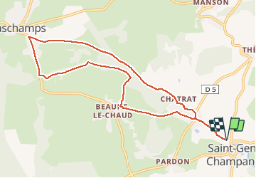

10.8 km | 16.4 km-effort

User


FREE GPS app for hiking
 SityTrail
IGN / Geographical institutes
SityTrail World
The world is yours!
Trail Walking of 10 km to be discovered at Auvergne-Rhône-Alpes, Puy-de-Dôme, Saint-Genès-Champanelle. This trail is proposed by tracegps.
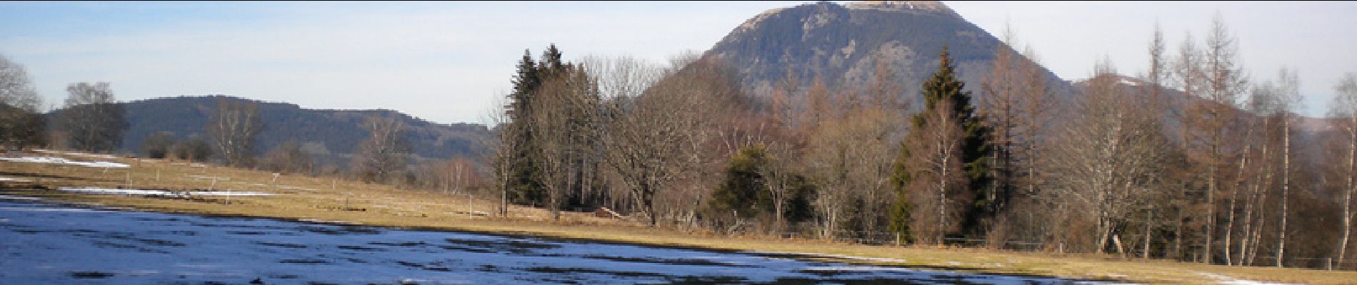
Une promenade tranquille, ne présentant pas de difficulté. Le descriptif détaillé se trouve dans le guide Chamina intitulé "Autour de Clermont". Sous le regard bienveillant du Puy de Dome on découvre ainsi des paysages variés.


Walking

Walking

Walking

Walking

Walking

Walking

Walking

Walking

Walking