20 km | 28 km-effort
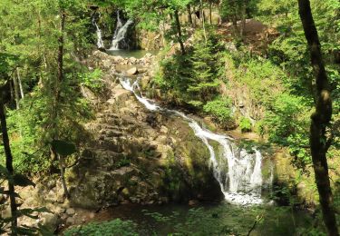
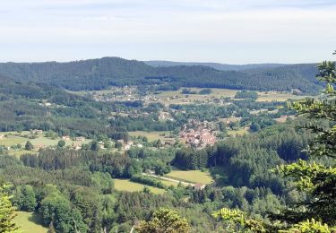
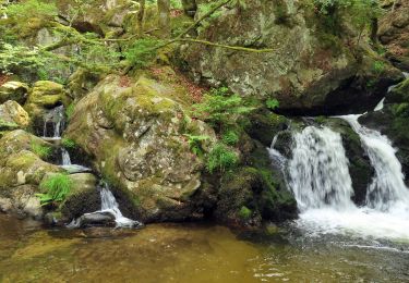
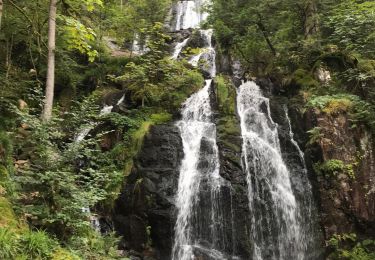
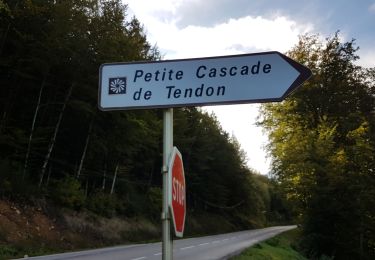
2012-03-25 Marche Cascade du Tendon à Bonne Fontaine
holtzv
User GUIDE
Length
6.8 km
Max alt
734 m
Uphill gradient
212 m
Km-Effort
9.6 km
Min alt
547 m
Downhill gradient
214 m
Boucle
Yes
Creation date :
2014-12-10 00:00:00.0
Updated on :
2014-12-10 00:00:00.0
1h26
Difficulty : Very easy
FREE GPS app for hiking
About
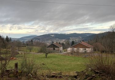
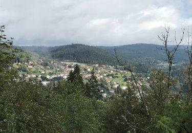
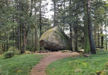
Trail Walking of 6.8 km to be discovered at Grand Est, Vosges, Le Tholy. This trail is proposed by holtzv.
Positioning
Country:
France
Region :
Grand Est
Department/Province :
Vosges
Municipality :
Le Tholy
Location:
Unknown
Start:(Dec)
Start:(UTM)
330278 ; 5329247 (32U) N.
Comments
Trails nearby
Cascades de Tendon - Trou de l'Enfer - Roches de la Moulure
Walking
Medium
(3)
Tendon,
Grand Est,
Vosges,
France
5h 33min
Yes
2022-06-03 Rando CVA Le Tholy Gerbamont
Horseback riding
Very difficult
Le Tholy,
Grand Est,
Vosges,
France
28 km | 41 km-effort
6h 25min
No
2022-06-02 Rando CVA Le Tholy Tête des Cuveaux
Horseback riding
Difficult
Le Tholy,
Grand Est,
Vosges,
France
28 km | 40 km-effort
5h 19min
Yes
2022-06-01 Rando CVA Le Tholy Boucle Cascades du Tendon
Horseback riding
Difficult
Le Tholy,
Grand Est,
Vosges,
France
24 km | 34 km-effort
5h 16min
Yes
La grande cascade du Tendon au départ du Grand Caillou.
Walking
Difficult
Le Tholy,
Grand Est,
Vosges,
France
9 km | 12.2 km-effort
2h 46min
Yes
La roche des corbeaux, La Forge
Walking
Medium
La Forge,
Grand Est,
Vosges,
France
7.8 km | 11.2 km-effort
2h 33min
Yes
Le trou de l'enfer
Walking
Medium
Le Tholy,
Grand Est,
Vosges,
France
10.2 km | 14.2 km-effort
2h 48min
Yes
Circuit Cleurie / ST Amé - le Fossard
Walking
Easy
Cleurie,
Grand Est,
Vosges,
France
14.1 km | 18.5 km-effort
3h 16min
Yes