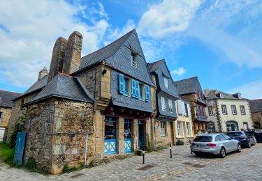
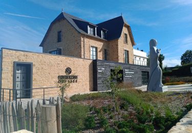
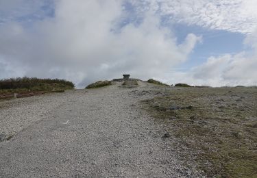
Trail Walking Trégarvan - Trégarvan - les rochers d'Argol - Photo

Trégarvan - les rochers d'Argol

 CHEVE
CHEVE

User

© OpenStreetMap contributors
Length
Length
20 km
Max alt
Max alt
326 m
Uphill gradient
Uphill gradient
465 m
Km-Effort
Km-Effort  
27 km
Min alt
Min alt
-1 m
Downhill gradient
Downhill gradient
465 m
Boucle
Boucle
Yes
Creation date :
2014-12-10 00:00:00.0
Updated on :
2014-12-10 00:00:00.0

(0 Reviews)

Walking
Walking
5h54
Difficulty : Medium

Scan this QR Code to open this trail in the SityTrail application

FREE GPS app for hiking

Logo SityTrail SityTrail

IGN / Geographical institutes

Download SityTrail from the App Store Download SityTrail from Google Play

Logo SityTrail SityTrail World

The world is yours!

Download SityTrail from the App Store Download SityTrail from Google Play Download SityTrail on Huawei AppGallery

About

Trail Walking of 20 km to be discovered at Brittany, Finistère, Trégarvan. This trail is proposed by CHEVE.

Description

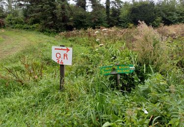
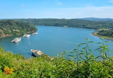
Du petit port de Trégarvan vous longerez l'Aulne à travers la forêt pour rejoindre les rochers d'Argol, spot d'escalade où vous pourrez pique-niquer. Ensuite direction le sud où vous apercevrez le Menez-Hom qu'il vous faudra gravir ; mais ça en vaudra la peine car du haut de ces 330 mètres vous découvrirez la baie de Douarnenez, la Presqu'ile de Crozon, la rade de Brest... Point de vue de 360 degrés. Ensuite il vous faudra redescendre et à travers lande, forêt, bord de rivière vous rejoindrez Trégarvan.
Attention : le début de la rando doit se faire à marée basse en raison du Gué à traverser sur des pierres (voir point d'intérêt)

Merci à Jean-Pierre et Michèle de Quimper Rando pour cette chouette balade.

Elevation profile

Points of interest

Point of interest Argol - Passage de gué - Photo
CHEVE

Positioning

Country:
France
Region :
Brittany
Department/Province :
Finistère
Municipality :
Trégarvan
Location:
Unknown
Start:(UTM)
408696 ; 5344908 (30U) N.

Trails nearby

Trail Walking Landévennec - Le tour de Landévennec Boucle 21 km - Photo
Walking
GUIDE
chessyca

Walking

Very difficult
Landévennec, Brittany, Finistère, France
21 km | 28 km-effort
5h 10min
Yes
Trail Walking Landévennec - Landévennec - boucles locales et GR34 - 13.8km 250m 4h10 (35mn) - 2019 09 12 - Photo
Walking
GUIDE
Orcal37

Walking

Easy
Landévennec, Brittany, Finistère, France
13.8 km | 17.2 km-effort
4h 10min
Yes
Trail Walking Saint-Nic - Saint Nic - boucle Ménez Hom et Dolmen de Ménez Lié - 11.1km 305m 3h10 - 2019 09 07 - Photo
Walking
GUIDE
Orcal37

Walking

Easy
Saint-Nic, Brittany, Finistère, France
11.1 km | 15.2 km-effort
3h 10min
Yes
Trail Walking Trégarvan - Menez Hom_10,3km_Trace GPS - Photo
Walking
Pousscailleux

Walking

Medium
(1)
Trégarvan, Brittany, Finistère, France
10.2 km | 14 km-effort
3h 0min
Yes
Trail Walking Trégarvan - TREGARVAN_6,7km_Trace GPS - Photo
Walking
Pousscailleux

Walking

Easy
(1)
Trégarvan, Brittany, Finistère, France
6.7 km | 8.4 km-effort
1h 50min
Yes
Trail Walking Le Faou -  GR34 Le Faou -- Rangoulic - Photo
Walking
donda

Walking

Very difficult
Le Faou, Brittany, Finistère, France
18.3 km | 25 km-effort
5h 38min
No
Trail Walking Le Faou - Visite express du centre historique de Le Faou - Photo
Walking
GUIDE
chessyca

Walking

Very easy
Le Faou, Brittany, Finistère, France
2.3 km | 2.5 km-effort
33min
Yes
Trail Walking Landévennec - LANDÉVENNEC  - Photo
Walking
RonanDAGORN

Walking

Difficult
Landévennec, Brittany, Finistère, France
19.4 km | 25 km-effort
4h 41min
No
Trail On foot Saint-Nic - Circuit du Menez-Hom - Photo
On foot
GUIDE+

On foot

Easy
Saint-Nic, Brittany, Finistère, France
4.8 km | 6 km-effort
1h 22min
No


Close
My subscriptions