

Le Causse d'Olmet
Groupe de marche du Recantou
La marche dans les monts d'Orb, le Caroux, et dans l'Hérault et l'aveyron

Length
7.1 km

Max alt
439 m

Uphill gradient
259 m

Km-Effort
10.5 km

Min alt
272 m

Downhill gradient
259 m
Boucle
Yes
Creation date :
2019-05-07 03:15:48.755
Updated on :
2019-05-07 03:15:48.755
2h12
Difficulty : Easy

FREE GPS app for hiking
About
Trail Walking of 7.1 km to be discovered at Occitania, Hérault, Olmet-et-Villecun. This trail is proposed by Groupe de marche du Recantou.
Description
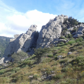
Joli montée au dessus d'Olmet jusqu'a la Défriche. Tous le dénivelé est dans le 1ier KM.
Pas de Balisage
Positioning
Country:
France
Region :
Occitania
Department/Province :
Hérault
Municipality :
Olmet-et-Villecun
Location:
Unknown
Start:(Dec)
Start:(UTM)
524781 ; 4839574 (31T) N.
Comments
Trails nearby
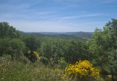
Villecun Lavalette


Nordic walking
Easy
(1)
Olmet-et-Villecun,
Occitania,
Hérault,
France

9.3 km | 12.4 km-effort
2h 13min
Yes

Chemin des Tines - La Défriche - Belbezet - Montifort


Nordic walking
Easy
(1)
Lodève,
Occitania,
Hérault,
France

8.3 km | 11.9 km-effort
Unknown
Yes
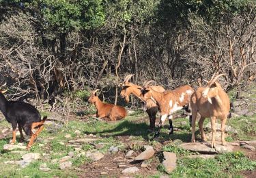
Les Vailhés Barrage du Salagou Mas Audran


Nordic walking
Medium
(1)
Celles,
Occitania,
Hérault,
France

14.4 km | 18.3 km-effort
3min
Yes
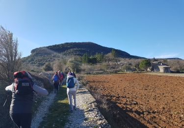
Grézac Pierre plate


Walking
Medium
(1)
Lodève,
Occitania,
Hérault,
France

8.8 km | 13.2 km-effort
2h 44min
Yes
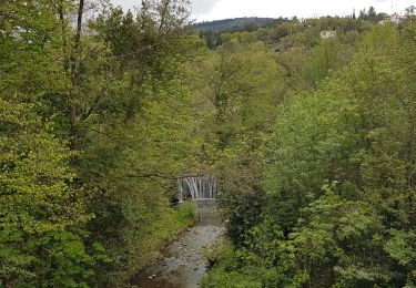
Saint-Martin - L'Ambeyran


Walking
Medium
(1)
Lodève,
Occitania,
Hérault,
France

9.4 km | 12.8 km-effort
2h 2min
Yes
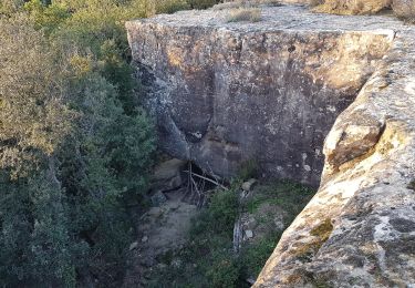
Balcons de Soumont


Walking
Medium
(1)
Soumont,
Occitania,
Hérault,
France

8.4 km | 11.9 km-effort
2h 29min
Yes
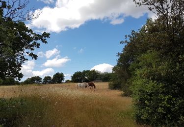
L'Auverne Salagou


Walking
Difficult
(1)
Celles,
Occitania,
Hérault,
France

11.2 km | 14 km-effort
3h 10min
Yes
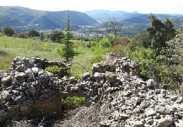
Le plateau de Grezac au depart de Lodève


Walking
Medium
(1)
Lodève,
Occitania,
Hérault,
France

15.8 km | 23 km-effort
6h 20min
Yes
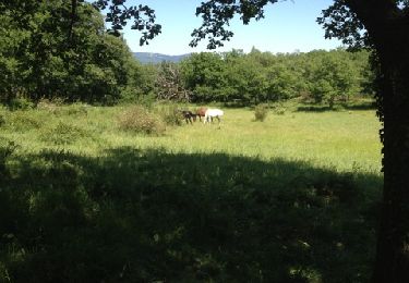
Soumont et ses Dolmens


Walking
Medium
(3)
Soumont,
Occitania,
Hérault,
France

18.2 km | 26 km-effort
5h 56min
Yes



 SityTrail


