

2019-04-30 Vongnes-lac de Chavoley

patpounet73
User

Length
19.3 km

Max alt
440 m

Uphill gradient
462 m

Km-Effort
25 km

Min alt
319 m

Downhill gradient
462 m
Boucle
Yes
Creation date :
2019-05-03 16:52:23.546
Updated on :
2019-05-03 16:52:23.546
5h27
Difficulty : Medium

FREE GPS app for hiking
About
Trail Walking of 19.3 km to be discovered at Auvergne-Rhône-Alpes, Ain, Vongnes. This trail is proposed by patpounet73.
Description
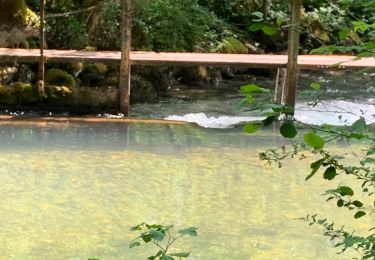
Belle randonnée familiale. Notre seule difficulté a été de trouver le sentier qui longe le coté est du lac de Chavoley. Cadre champêtre très reposant.Les villages traversés sont magnifiques, beaucoup de maisons restaurées avec goût.
Positioning
Country:
France
Region :
Auvergne-Rhône-Alpes
Department/Province :
Ain
Municipality :
Vongnes
Location:
Unknown
Start:(Dec)
Start:(UTM)
711643 ; 5076819 (31T) N.
Comments
Trails nearby

Chazey-Bons/ Vongnes


Mountain bike
Medium
(1)
Cuzieu,
Auvergne-Rhône-Alpes,
Ain,
France

16.4 km | 21 km-effort
2h 5min
Yes

Entre lac et rivière


Mountain bike
Difficult
(1)
Pollieu,
Auvergne-Rhône-Alpes,
Ain,
France

30 km | 36 km-effort
2h 13min
Yes

Boucle sous Gevrin


Mountain bike
Easy
(1)
Andert-et-Condon,
Auvergne-Rhône-Alpes,
Ain,
France

13.1 km | 17.1 km-effort
1h 1min
Yes
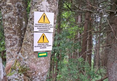
Pierre chandruraz.


Walking
Very difficult
Béon,
Auvergne-Rhône-Alpes,
Ain,
France

57 km | 84 km-effort
5h 52min
No
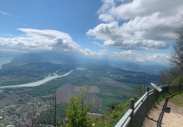
Fenestre


sport
Very easy
Culoz,
Auvergne-Rhône-Alpes,
Ain,
France

12.4 km | 22 km-effort
Unknown
Yes
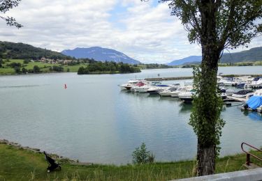
ViaRhôna Culoz-Ambérieu 140km


Hybrid bike
Medium
Culoz,
Auvergne-Rhône-Alpes,
Ain,
France

140 km | 159 km-effort
14h 0min
No
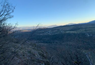
Recherche suite chemin du dimanche vers Gramont


Mountain bike
Very difficult
Andert-et-Condon,
Auvergne-Rhône-Alpes,
Ain,
France

11.6 km | 16.6 km-effort
1h 7min
Yes

Sous Gevrin et Veript


Mountain bike
Medium
Andert-et-Condon,
Auvergne-Rhône-Alpes,
Ain,
France

16.7 km | 22 km-effort
1h 28min
No
Tour 4


Mountain bike
Medium
Andert-et-Condon,
Auvergne-Rhône-Alpes,
Ain,
France

12.6 km | 16.4 km-effort
1h 6min
Yes


 SityTrail


