


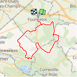

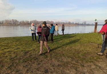
14.6 km | 18.6 km-effort


User


FREE GPS app for hiking
 SityTrail
IGN / Geographical institutes
SityTrail World
The world is yours!
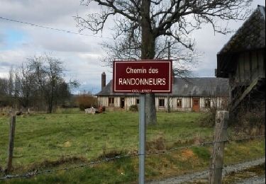
Trail Roller skating of 15.1 km to be discovered at Normandy, Eure, Le Perrey. This trail is proposed by MichelRando7656.
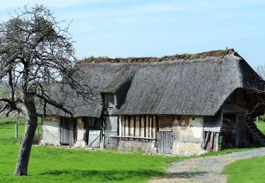
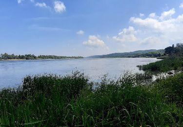
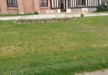
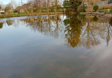
Superbes sentiers entre champs ou travers bois. Beaux paysages et superbes demeures. Quelques petites routes goudronnées à travers les villages.

Walking
On foot
Walking
Walking
Walking
Walking

Walking
Walking