


9.9 km | 13.2 km-effort

User


FREE GPS app for hiking
 SityTrail
IGN / Geographical institutes
SityTrail World
The world is yours!
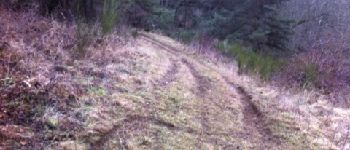
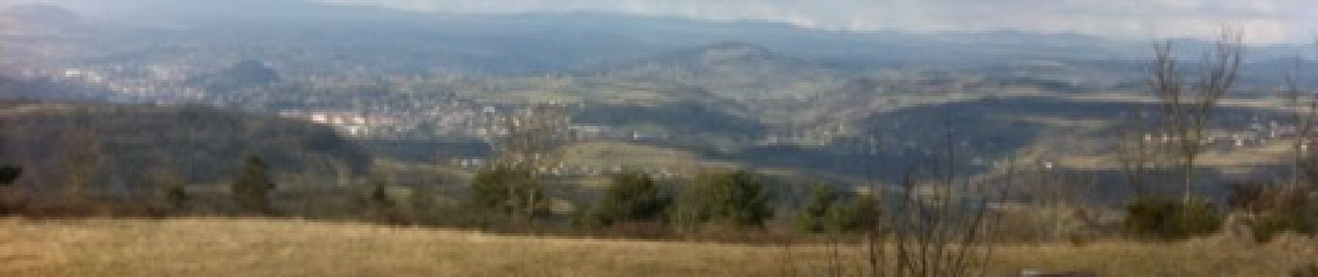
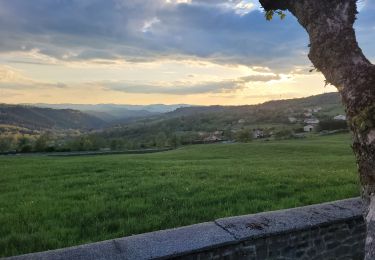
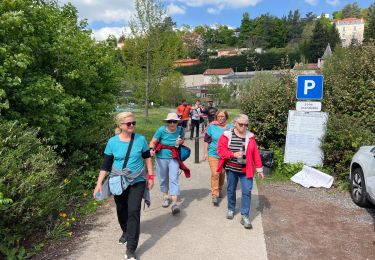
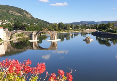
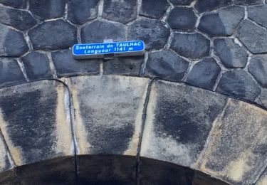
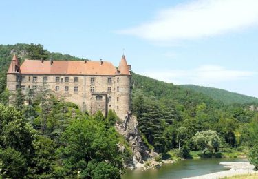
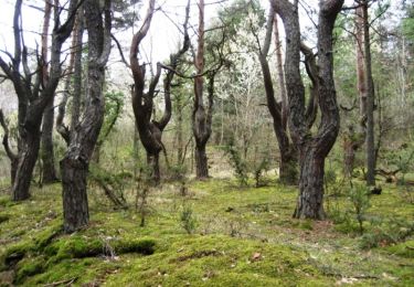
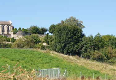
Trail Mountain bike of 22 km to be discovered at Auvergne-Rhône-Alpes, Haute-Loire, Blavozy. This trail is proposed by alph13.


Walking
Electric bike
Walking
Electric bike
Mountain bike
Cycle
Walking
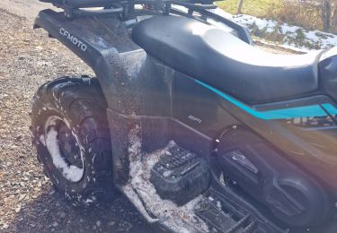
Quad
Running