


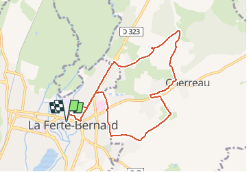

13.4 km | 15.9 km-effort


User


FREE GPS app for hiking
 SityTrail
IGN / Geographical institutes
SityTrail World
The world is yours!
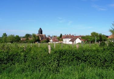
Trail Running of 8.7 km to be discovered at Pays de la Loire, Sarthe, La Ferté-Bernard. This trail is proposed by bobtail63.
Depart du parking derrière saint Julien. Ce tracé permet de s'échauffer sur du bitume avant de rejoindre les chemins et quelques petites montées. Attention, gras en hiver.
Walking
Walking
Walking
Walking

Walking
Walking
Walking

Running

On foot