


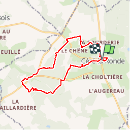

14.4 km | 16.4 km-effort

User GUIDE


FREE GPS app for hiking
 SityTrail
IGN / Geographical institutes
SityTrail World
The world is yours!
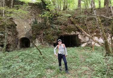
Trail Walking of 15.4 km to be discovered at Centre-Loire Valley, Indre-et-Loire, Céré-la-Ronde. This trail is proposed by Orcal37.
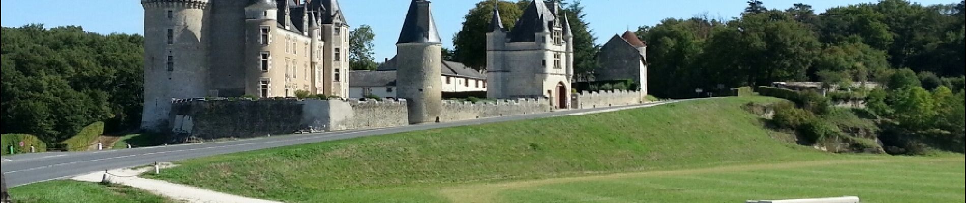
Céré-la-Ronde - 2015 08 30 - Sentier rouge - via le Château Montpoupon


Walking

Other activity

Walking
Walking
Nordic walking
Walking
Nordic walking
Walking
Walking