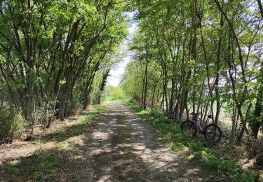
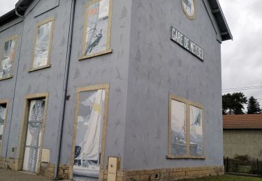
3.7 km | 4 km-effort
Nouveau guide
yannthion
User
Length
57 km
Max alt
528 m
Uphill gradient
792 m
Km-Effort
67 km
Min alt
165 m
Downhill gradient
720 m
Boucle
No
Creation date :
2014-12-10 00:00:00.0
Updated on :
2014-12-10 00:00:00.0
--
Difficulty : Unknown
FREE GPS app for hiking
About
Trail Other activity of 57 km to be discovered at Auvergne-Rhône-Alpes, Métropole de Lyon, Bron. This trail is proposed by yannthion.
Positioning
Country:
France
Region :
Auvergne-Rhône-Alpes
Department/Province :
Métropole de Lyon
Municipality :
Bron
Location:
Unknown
Start:(Dec)
Start:(UTM)
649272 ; 5066498 (31T) N.
Comments
Trails nearby
69-Lyon-murs-peints-musée-Tony-Garnier-mai21
Walking
Easy
(1)
Lyon,
Auvergne-Rhône-Alpes,
Métropole de Lyon,
France
1h 37min
Yes
Saint-Priest Cyclisme sur route
Mountain bike
Medium
(1)
Saint-Priest,
Auvergne-Rhône-Alpes,
Métropole de Lyon,
France
24 km | 27 km-effort
1h 48min
Yes
69-GR169-St-Priest-Meyzieu-21km-210m
Walking
Difficult
Saint-Priest,
Auvergne-Rhône-Alpes,
Métropole de Lyon,
France
21 km | 24 km-effort
4h 42min
No
VTT - Saint Priest Mairie au Parc de Parilly
Hybrid bike
Very easy
Saint-Priest,
Auvergne-Rhône-Alpes,
Métropole de Lyon,
France
18.3 km | 20 km-effort
2h 0min
Yes
VTT Saint Priest Vallencin Chaponnay
Mountain bike
Very difficult
Saint-Priest,
Auvergne-Rhône-Alpes,
Métropole de Lyon,
France
55 km | 67 km-effort
4h 26min
Yes
Canal de Jonage et canal de Méribel
Mountain bike
Easy
(1)
Décines-Charpieu,
Auvergne-Rhône-Alpes,
Métropole de Lyon,
France
35 km | 39 km-effort
2h 16min
Yes
Mont Verdun
Mountain bike
Difficult
(1)
Lyon,
Auvergne-Rhône-Alpes,
Métropole de Lyon,
France
37 km | 47 km-effort
3h 18min
No
St Priest - L'isle d'abeau Les 3 vallons
Cycle
Medium
(1)
Saint-Priest,
Auvergne-Rhône-Alpes,
Métropole de Lyon,
France
34 km | 38 km-effort
1h 46min
No
Espace Biezin DECINES
Walking
Very easy
Décines-Charpieu,
Auvergne-Rhône-Alpes,
Métropole de Lyon,
France
10.9 km | 12.1 km-effort
2h 51min
Yes