


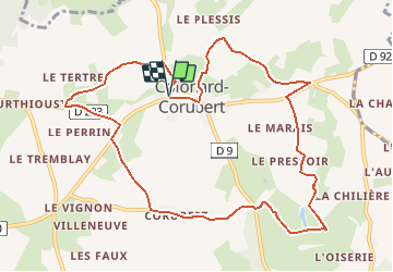

22 km | 28 km-effort


User


FREE GPS app for hiking
 SityTrail
IGN / Geographical institutes
SityTrail World
The world is yours!
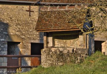
Trail Walking of 10.7 km to be discovered at Normandy, Orne, Perche en Nocé. This trail is proposed by neitag61.
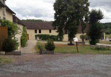
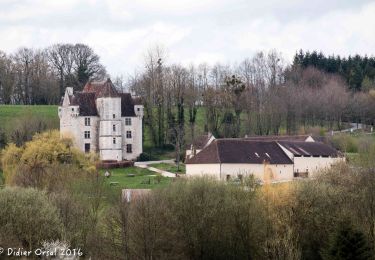
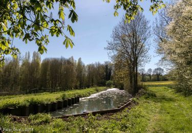
Superbe Circuit avec de multiples vues sur les vallons du Perche et un passage au Manoir de Courboyer ( Maison du Parc Régional du Perche )
circuit pédestre, équestre et VTT

Walking
Walking
Walking

Walking

Walking
Walking

Walking
Walking

Walking