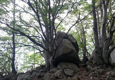
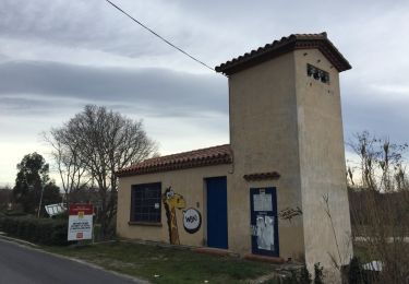
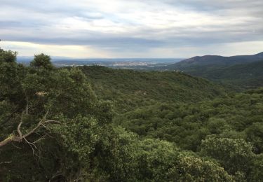
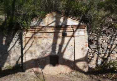
8.5 km | 11.9 km-effort
test terrain final 15 04 19 test photo
parcours
User
Length
4.3 km
Max alt
317 m
Uphill gradient
189 m
Km-Effort
6.8 km
Min alt
169 m
Downhill gradient
185 m
Boucle
Yes
Creation date :
2019-05-07 01:00:32.53
Updated on :
2019-05-07 01:00:32.53
1h10
Difficulty : Easy
FREE GPS app for hiking
About
Trail Other activity of 4.3 km to be discovered at Occitania, Pyrénées-Orientales, Céret. This trail is proposed by parcours.
Points of interest
Positioning
Country:
France
Region :
Occitania
Department/Province :
Pyrénées-Orientales
Municipality :
Céret
Location:
Unknown
Start:(Dec)
Start:(UTM)
479489 ; 4703652 (31T) N.
Comments
Trails nearby
Céret pont du Diable . Saint Feriol (boucle sens aiguilles de la montre)
Walking
Easy
(1)
Céret,
Occitania,
Pyrénées-Orientales,
France
3h 44min
Yes
Le sentier de Vinés
Walking
Easy
(2)
Vivès,
Occitania,
Pyrénées-Orientales,
France
9.9 km | 13 km-effort
2h 54min
Yes
Cretes de Ceret_Fontfrede
Walking
Medium
(2)
Céret,
Occitania,
Pyrénées-Orientales,
France
8.3 km | 14.1 km-effort
3h 14min
Yes
66 ST-JEAN-PLA-DE-CORTS, promenade autour du Tech, jusqu'au BOULOU
Walking
Easy
(1)
Saint-Jean-Pla-de-Corts,
Occitania,
Pyrénées-Orientales,
France
7.9 km | 8.8 km-effort
1h 18min
Yes
CERET 66 - les hauts de CERET - ballade en bas Vallespir - dolmen de la Siure...
Walking
Medium
(1)
Maureillas-las-Illas,
Occitania,
Pyrénées-Orientales,
France
6.5 km | 9.9 km-effort
1h 24min
Yes
Vives llauro
Walking
Very easy
Vivès,
Occitania,
Pyrénées-Orientales,
France
8.2 km | 11.7 km-effort
2h 15min
Yes
Ermitage de saint ferreol
Walking
Medium
(1)
Céret,
Occitania,
Pyrénées-Orientales,
France
7.6 km | 10.4 km-effort
1h 59min
Yes
blacon de ceret via la cascade
Walking
Medium
(3)
Céret,
Occitania,
Pyrénées-Orientales,
France
10.1 km | 14.4 km-effort
3h 9min
Yes
st jean St fereol
Walking
Difficult
Saint-Jean-Pla-de-Corts,
Occitania,
Pyrénées-Orientales,
France
13.5 km | 17.6 km-effort
6h 44min
Yes
qsqdqd