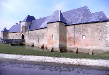
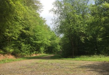
Trail Walking Vendresse - Cote de Bar - Photo
© OpenStreetMap contributors
Length
Length
12.4 km
Max alt
Max alt
306 m
Uphill gradient
Uphill gradient
354 m
Km-Effort
Km-Effort  
17.1 km
Min alt
Min alt
161 m
Downhill gradient
Downhill gradient
352 m
Boucle
Boucle
Yes
Creation date :
2019-05-06 23:58:23.866
Updated on :
2019-05-06 23:58:23.866

(0 Reviews)

Walking
Walking
--
Difficulty : Unknown

Scan this QR Code to open this trail in the SityTrail application

FREE GPS app for hiking

Logo SityTrail SityTrail

IGN / Geographical institutes

Download SityTrail from the App Store Download SityTrail from Google Play

Logo SityTrail SityTrail World

The world is yours!

Download SityTrail from the App Store Download SityTrail from Google Play Download SityTrail on Huawei AppGallery

About

Trail Walking of 12.4 km to be discovered at Grand Est, Ardennes, Vendresse. This trail is proposed by Patrice08.

Elevation profile

Points of interest

Point of interest Vendresse - Arboretum de Vendresse - Photo
Patrice08
Point of interest Vendresse - La Ligne aux sapins - Photo
Patrice08
Point of interest Omicourt - Limite de communes - Photo
Patrice08
Point of interest Omicourt - Omicourt - Photo
Patrice08
OMICOURT 
Point of interest Omicourt - Route forestière - Photo
Patrice08
Point of interest Omicourt - Croisement de chemins - Photo
Patrice08
Point of interest Saint-Aignan - Chemin d'Hannognes à Saint Aignan - Photo
Patrice08
Point of interest Sapogne-et-Feuchères - Le Cogneux - Photo
Patrice08
SAPOGNE-ET-FEUCHÈRES 
Point of interest Omicourt - Sources du Rouge Cogneux - Photo
Patrice08
Point of interest Vendresse - Limite de communes - Photo
Patrice08
Point of interest Vendresse - Arboretum de Vendresse - Photo
Patrice08

Positioning

Country:
France
Region :
Grand Est
Department/Province :
Ardennes
Municipality :
Vendresse
Location:
Unknown
Start:(UTM)
630173 ; 5497262 (31U) N.

Trails nearby

Trail Mountain bike Omicourt - GR14 v02 - Photo
Mountain bike
ericgrunig

Mountain bike

Medium
(1)
Omicourt, Grand Est, Ardennes, France
30 km | 39 km-effort
2h 30min
Yes
Trail Walking Flize - elan  annick - Photo
Walking
Nicolesophie08

Walking

Medium
Flize, Grand Est, Ardennes, France
11.7 km | 16.2 km-effort
3h 42min
Yes
Trail On foot Flize - Elan 2023 ( Jeudi ) - Photo
On foot
trouillet08

On foot

Easy
(1)
Flize, Grand Est, Ardennes, France
10.1 km | 14.1 km-effort
3h 11min
Yes
Trail Walking Chémery-Chéhéry - De Chémery-sur-Bar à La Neuville via Vendresse - Photo
Walking
tracegps

Walking

Difficult
Chémery-Chéhéry, Grand Est, Ardennes, France
15.9 km | 18.2 km-effort
5h 0min
Yes
Trail Walking Flize - elan - Photo
Walking
martine08

Walking

Difficult
Flize, Grand Est, Ardennes, France
10.4 km | 14.1 km-effort
2h 58min
Yes
Trail Walking Flize - elan - Photo
Walking
Nicolesophie08

Walking

Medium
Flize, Grand Est, Ardennes, France
15.5 km | 20 km-effort
3h 51min
Yes
Trail Walking Omicourt - ardennes - Photo
Walking
Bernadette Noirant

Walking

Very easy
Omicourt, Grand Est, Ardennes, France
4.8 km | 6.1 km-effort
1h 12min
No
Trail Walking Vendresse - La Cassine FFSP 2018 10kms - Photo
Walking
PascalBanide

Walking

Easy
Vendresse, Grand Est, Ardennes, France
11.6 km | 14 km-effort
2h 42min
Yes
Trail Walking Omicourt - Omnicourt - Photo
Walking
emoreau

Walking

Very easy
Omicourt, Grand Est, Ardennes, France
5.8 km | 8.1 km-effort
1h 36min
Yes


Close
My subscriptions