


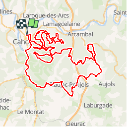

62 km | 81 km-effort


User


FREE GPS app for hiking
 SityTrail
IGN / Geographical institutes
SityTrail World
The world is yours!
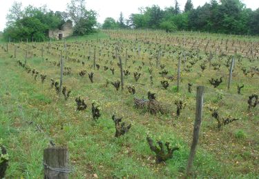
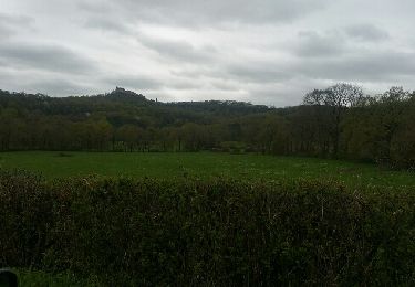
Trail Mountain bike of 64 km to be discovered at Occitania, Lot, Cahors. This trail is proposed by kipoura.
Un gros miam miam de single en VTT .... http://zevtt.free.fr

Mountain bike
Walking
Mountain bike

Nordic walking
Walking


Walking
Bonne promenade . La fin est Mouna interessante