


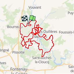

16.8 km | 21 km-effort


User


FREE GPS app for hiking
 SityTrail
IGN / Geographical institutes
SityTrail World
The world is yours!
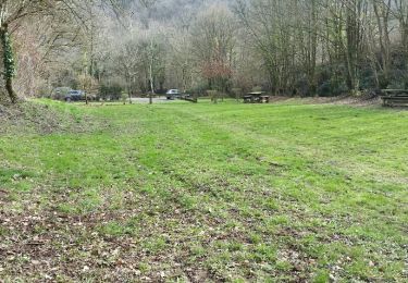
Trail Mountain bike of 55 km to be discovered at Pays de la Loire, Vendée, Mervent. This trail is proposed by kipoura.
Une boucle VTT dans le massif de Mervent, un parcours tip top et vraiment ludique, à consommer sans modération ... http://zevtt.free.fr

Walking
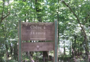
Walking
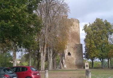
Walking
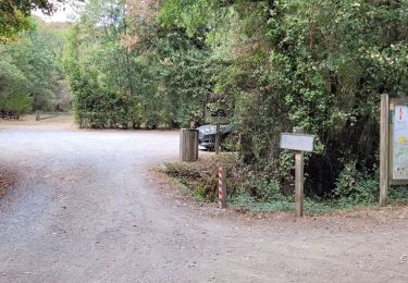
Walking

Walking
Walking
Walking
Walking
Mountain bike
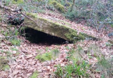
Encore une super trace de ZeVtt, vous êtes vraiment les meilleurs en Poitou Charente ! Quelques zones de portage obligatoire, mais pour des passages qui en valent la peine. Quelques passages fermés, je vais me permettre de poster prochainement une variante juste actualisée de la rando.