


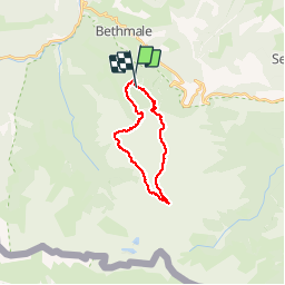

15 km | 26 km-effort


User


FREE GPS app for hiking
 SityTrail
IGN / Geographical institutes
SityTrail World
The world is yours!
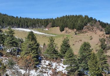
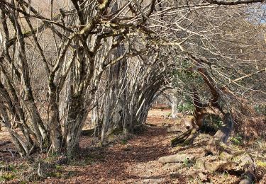
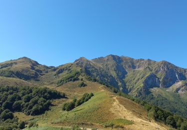
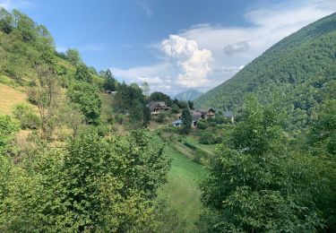
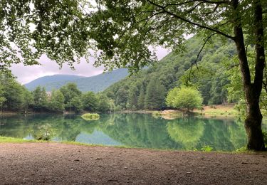
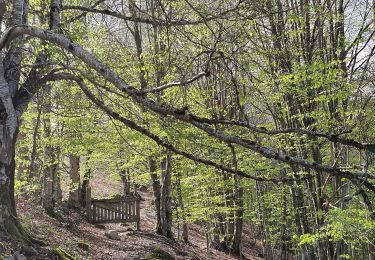
Trail Walking of 20 km to be discovered at Occitania, Ariège, Bethmale. This trail is proposed by chrisgps.
en boucle.Passage au Col de la Crouzette à 2237m et cabane des Espugues 2110m
Walking


Walking
Walking
Walking
Walking
Walking
Walking

On foot